5 – 18 July
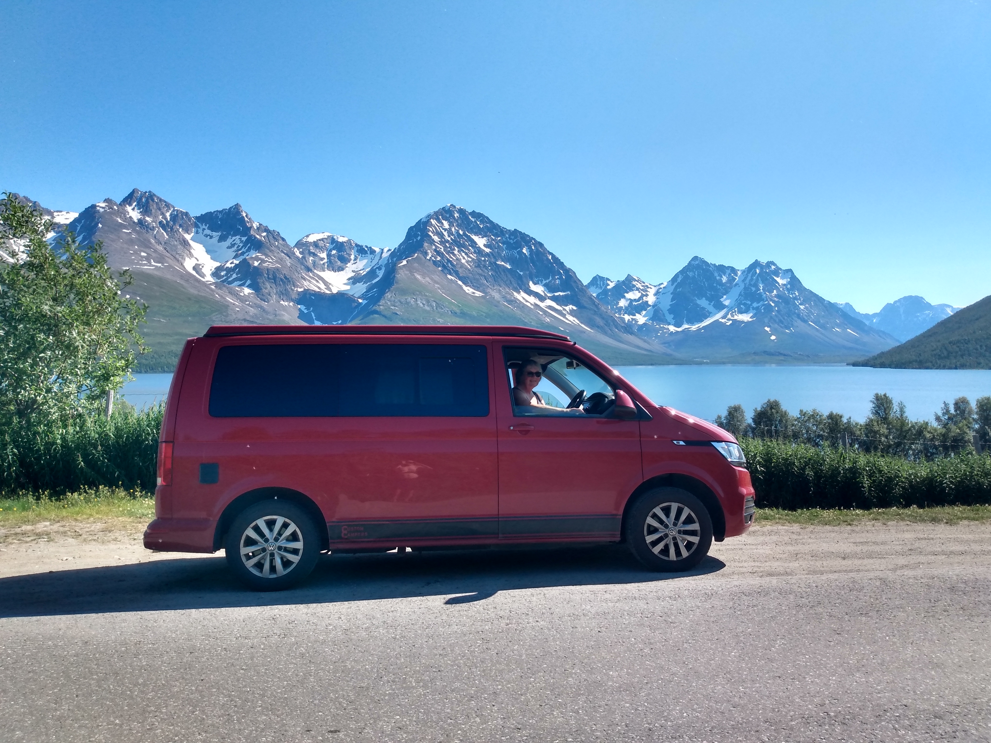
Northernmost points 5 – 18 July
The furthest north we reached was the tip of the Lyngen peninsula. Without meaning to visit the northernmost points of Finland and Sweden, we achieved this, too.
Main destinations
Dividalen
Lilla Rostavatn
Tverrelvfoss
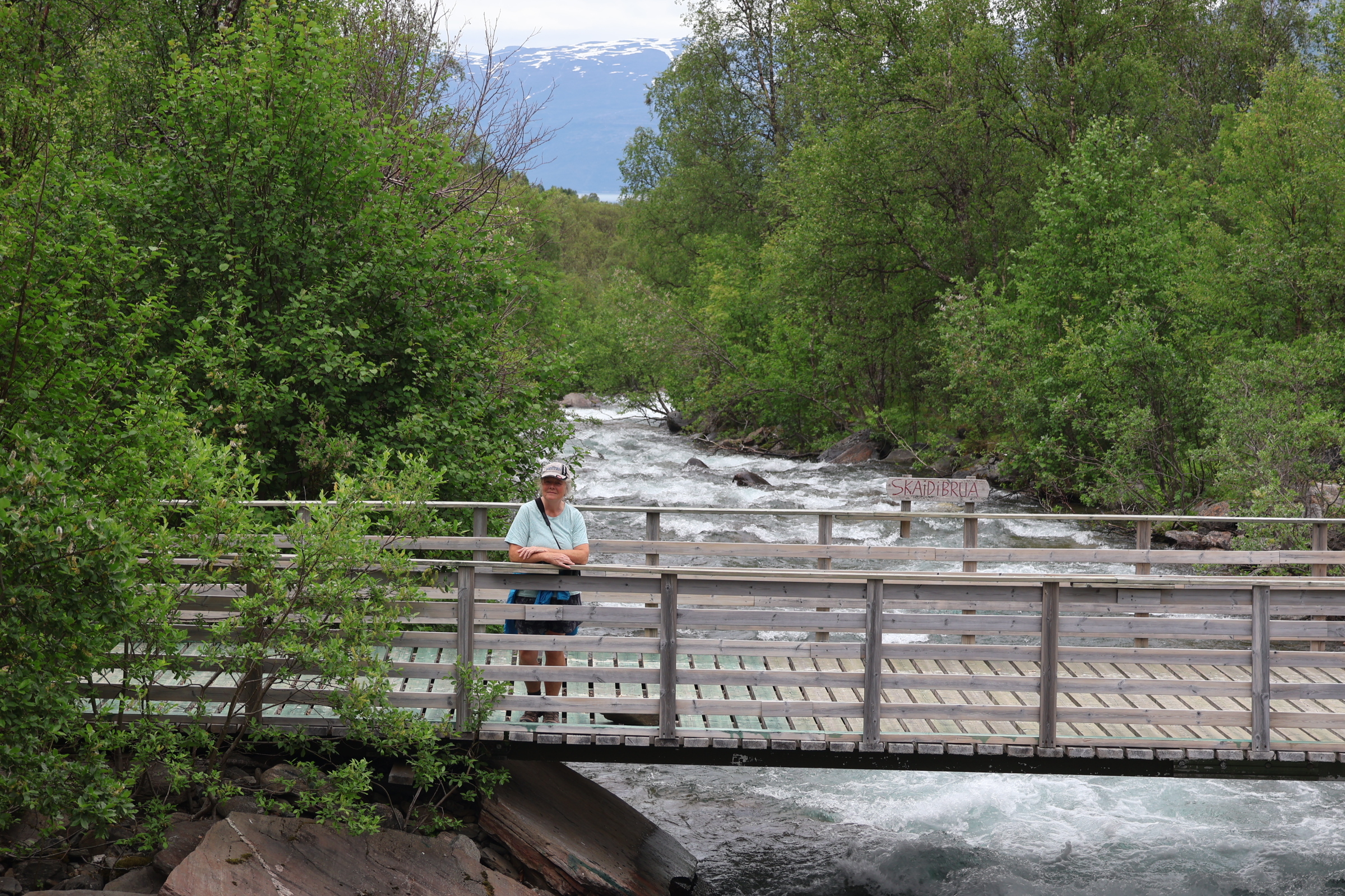


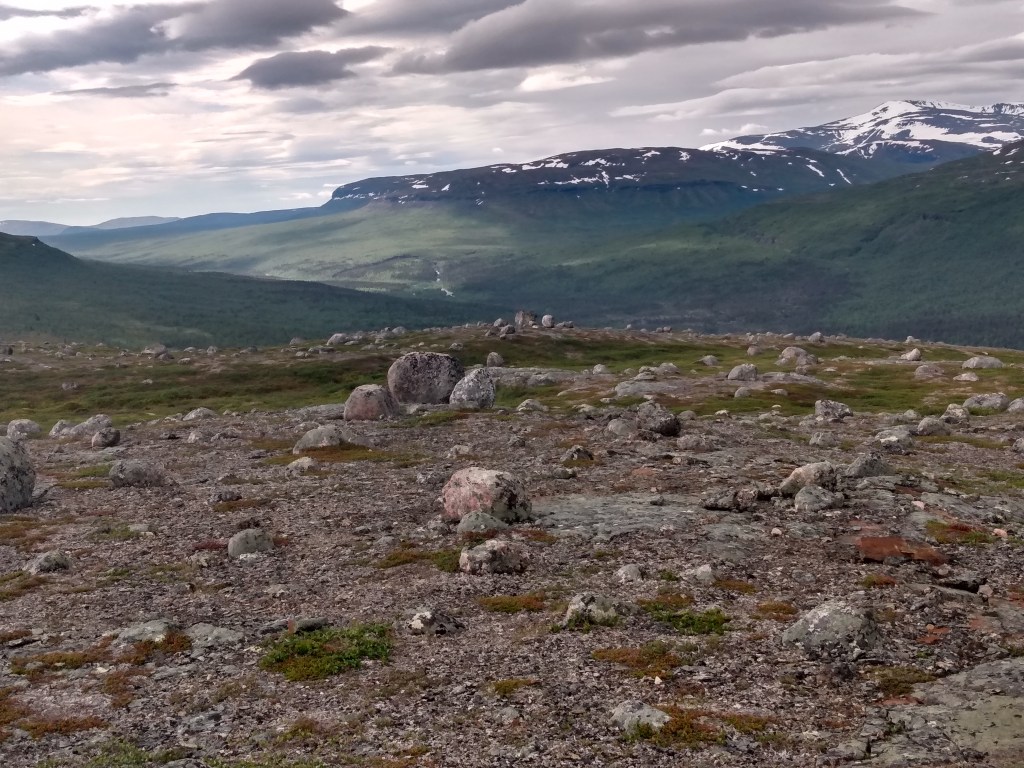
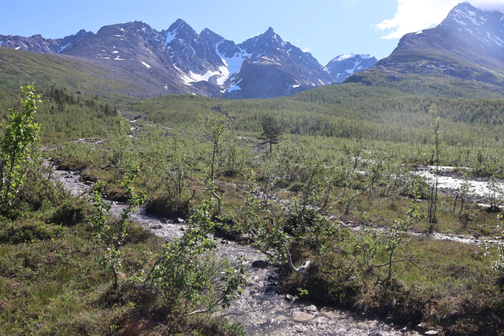
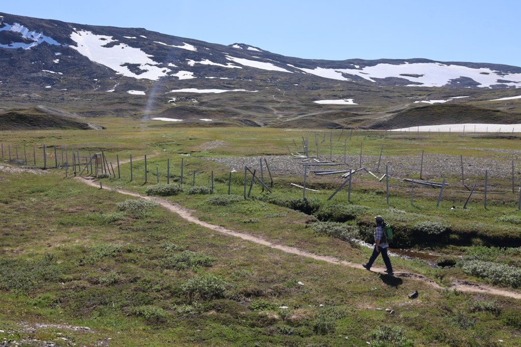
Dividalen is a long, straight glen in the eastern part of Troms. We drove for miles up gravel roads. At one point we were amazed at the dozens of vehicles parked, mostly with trailers which might have carried off-road vehicles. Our answer came later.
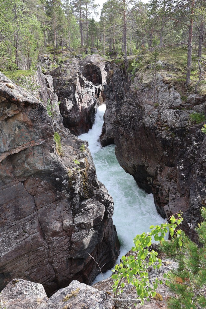
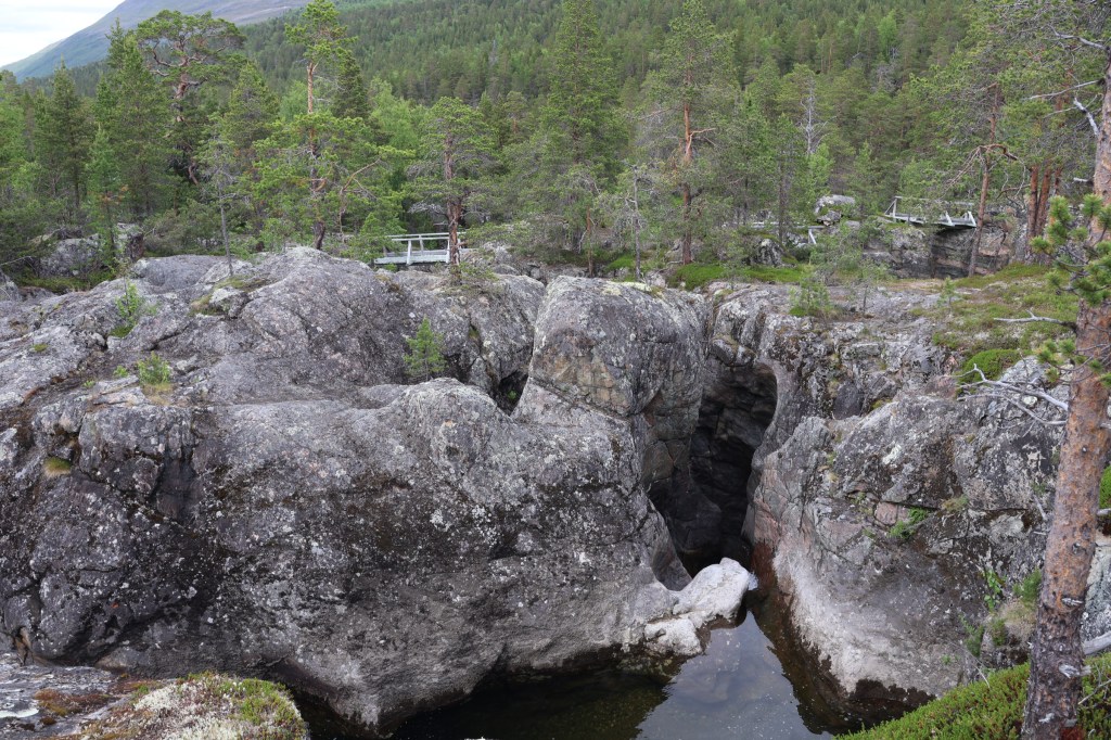
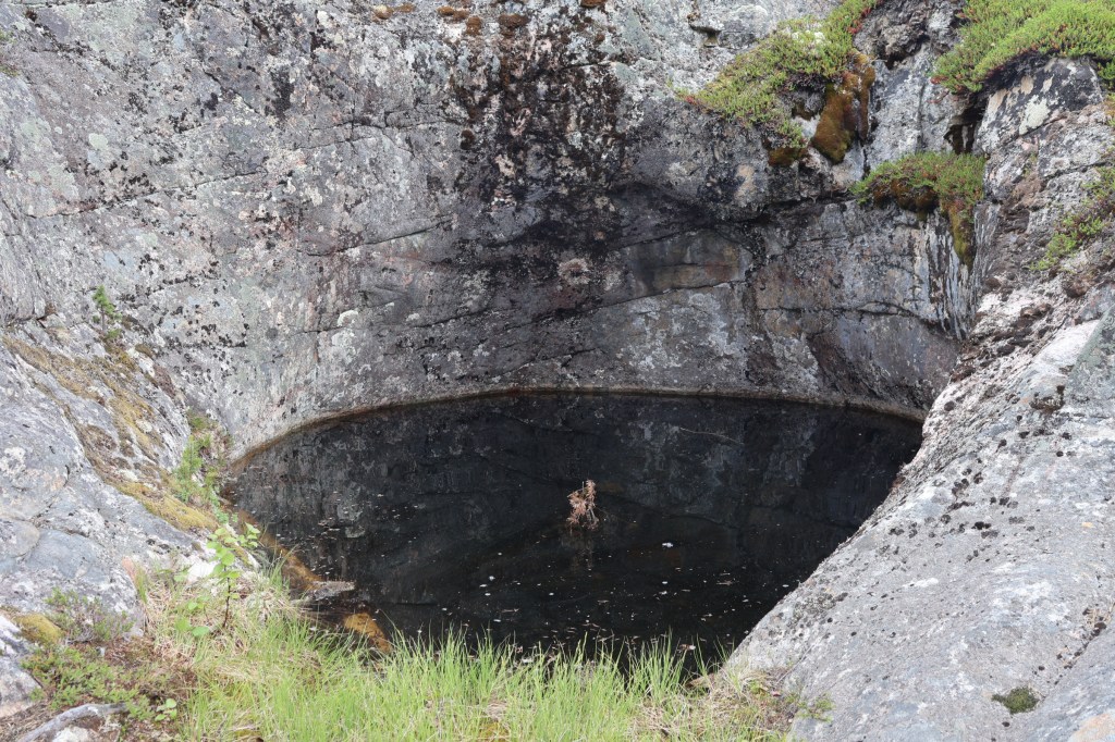
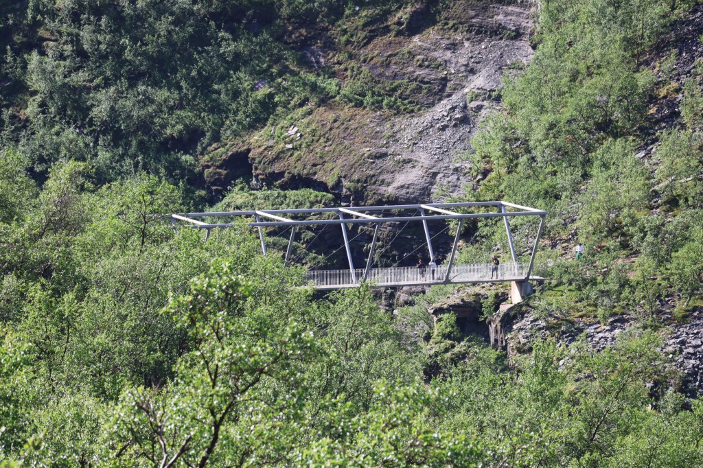
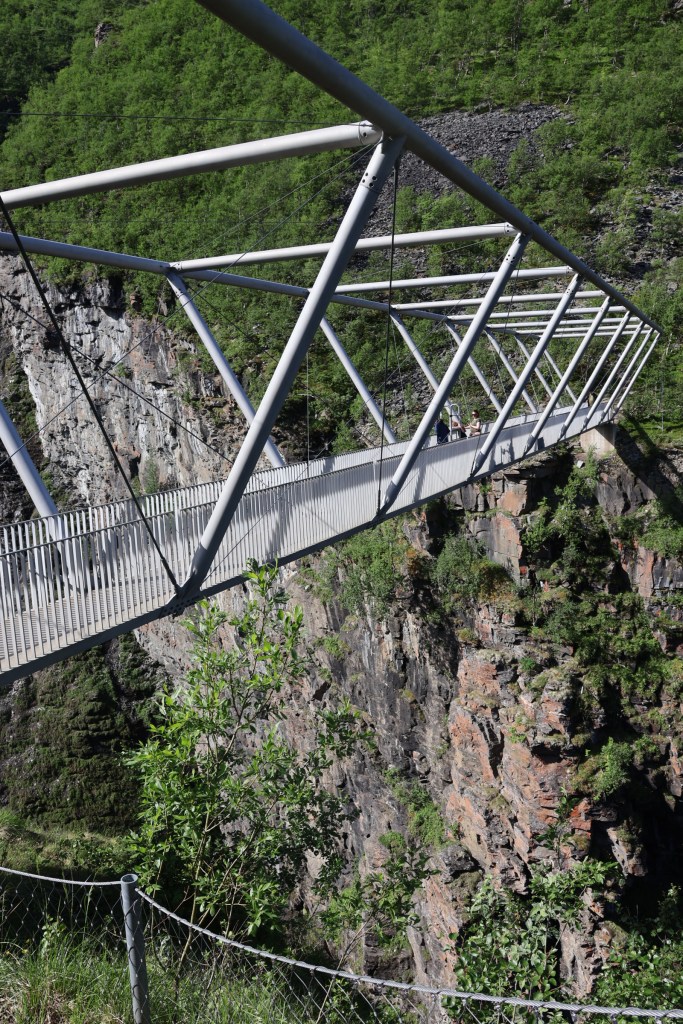
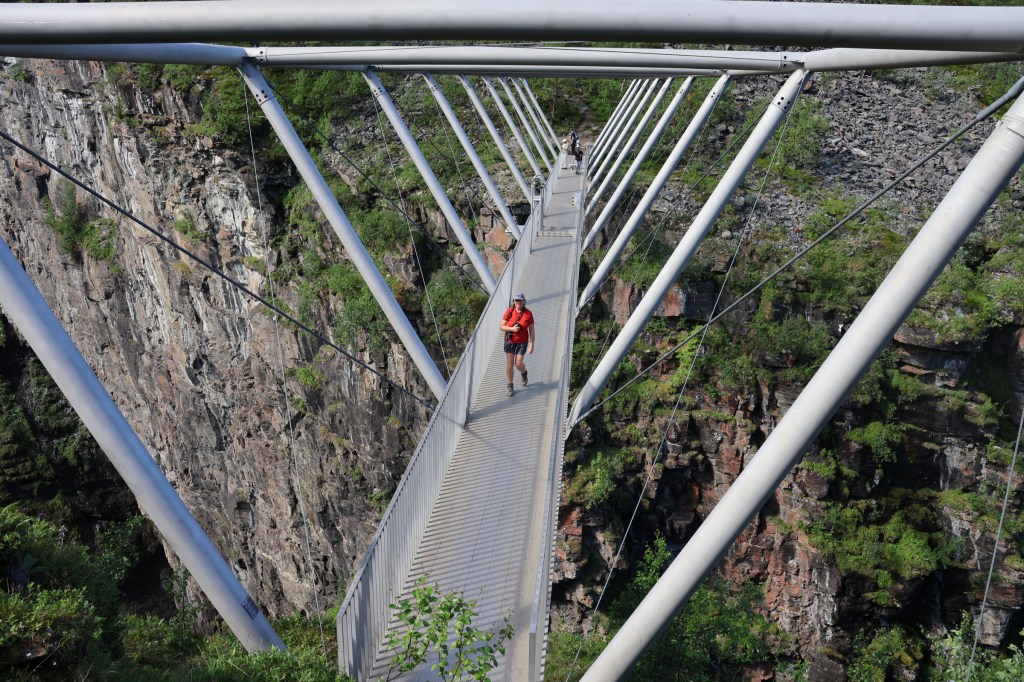
We visited the Finnfoss bridges over deep rock gorges, set with many potholes, an impressive sight. Although it may appear that the most scary places were chosen for bridges, the solid rock offered the best foundations and were well out of reach of flood waters.

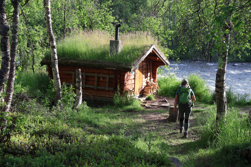
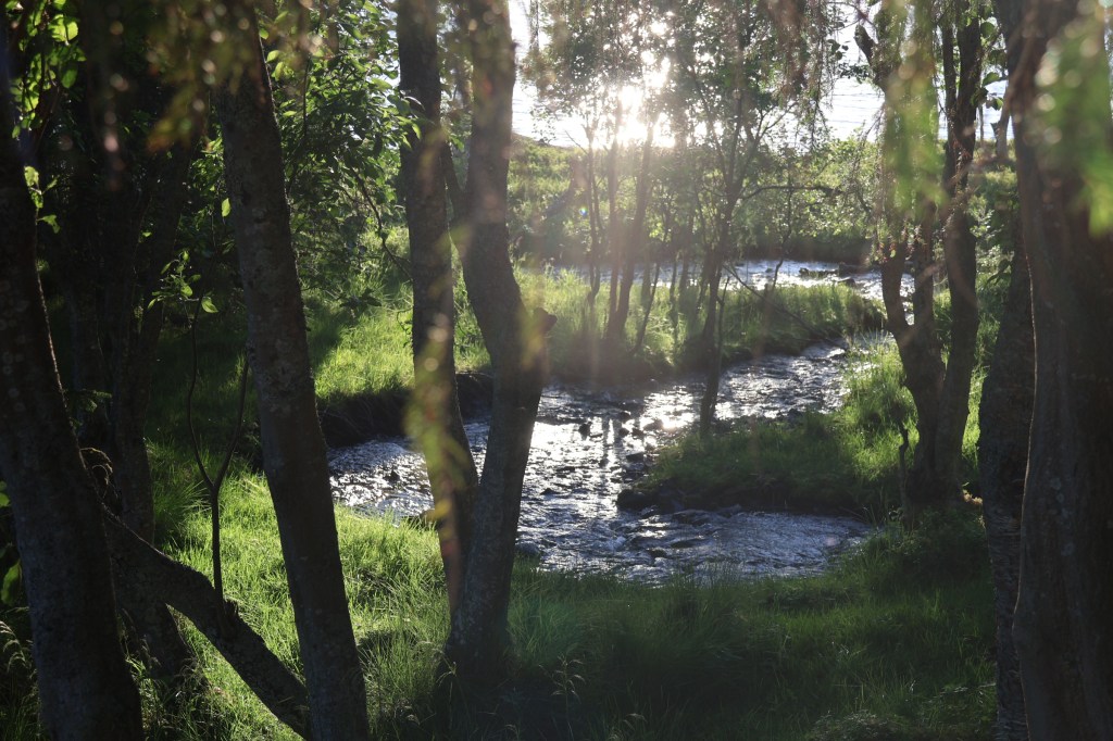
At the road end we had an evening walk in the woods up the river to Anjavasshytta and back.
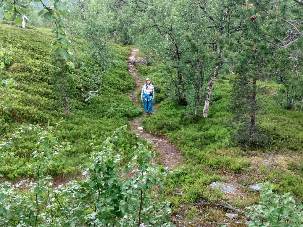
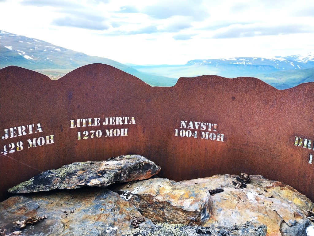
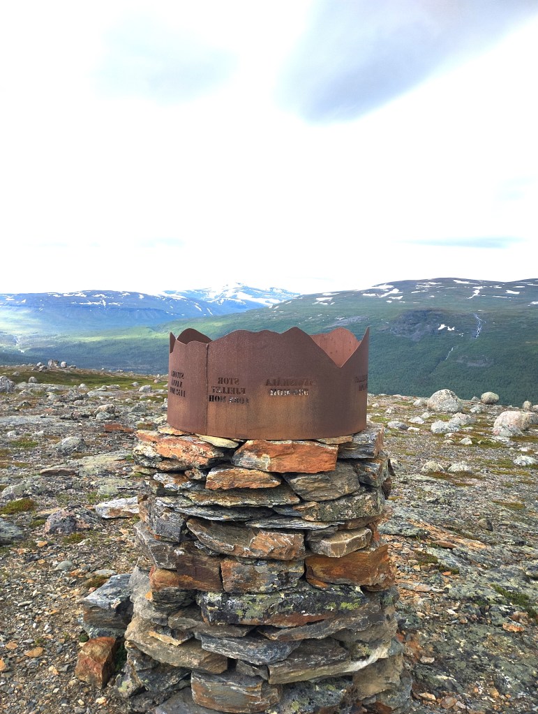
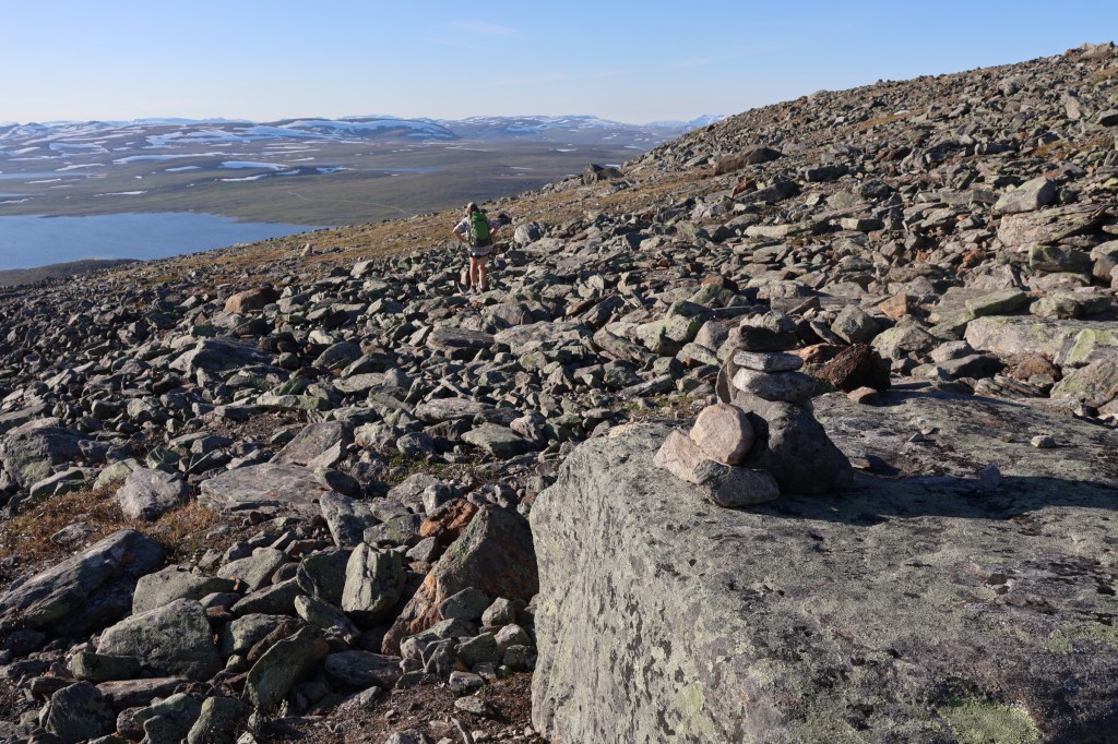
Next morning we took an early walk up Skaktaråsen. Though visited by very few people, it was crowned with an ingenious viewpoint indicator showing the surrounding peaks.
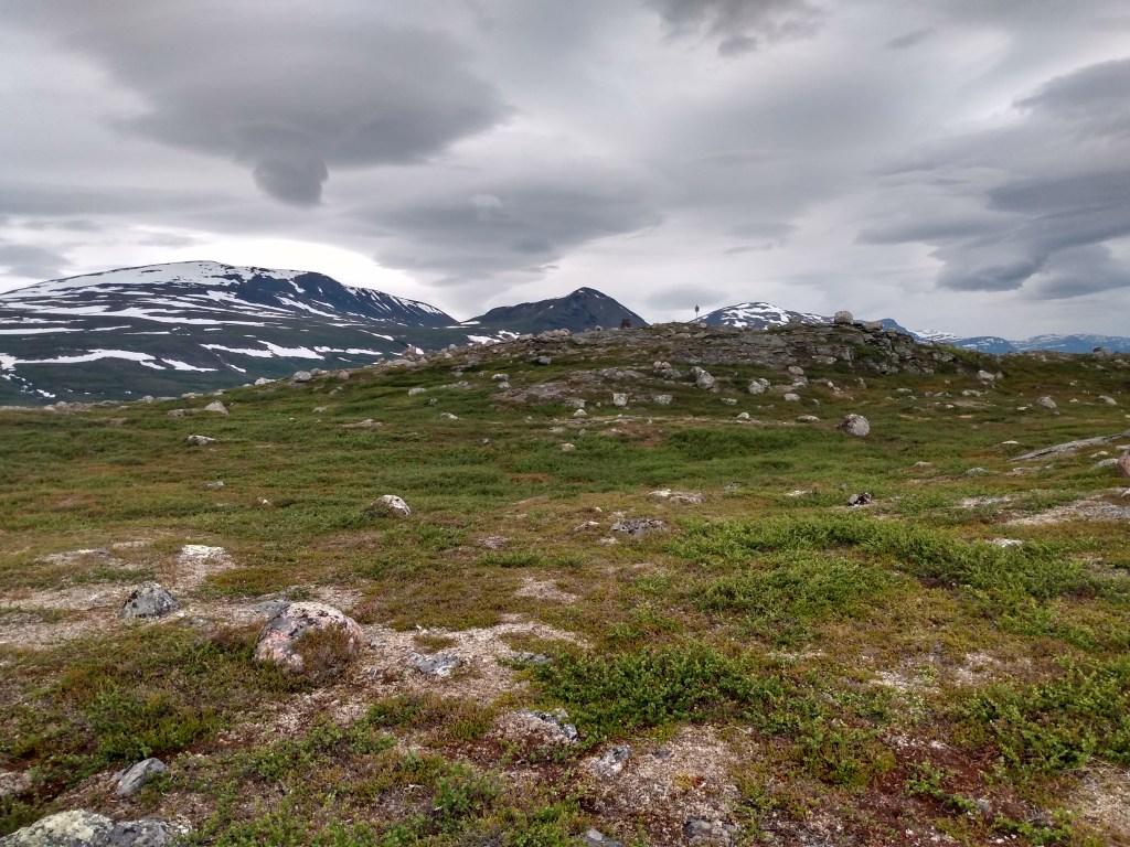
The facing slope of the much higher Storfjellet answered our earlier question. Reindeer! Thousands of them. The (mostly Sami) reindeer herders were out marking the calves, an enormous operation which takes weeks to get round them all, when neighbourly cooperation is essential.
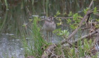
We found our way to Lille Rostavatnet, a lake renowned for its huge ice fishing festival. It’s fairly popular with anglers all year. Two friendly fishermen gave us a klipfisk (dried salmon) one of them had produced, telling us we would need to hit it with a hammer before we ate it. We told them about the rare bird right in front of their cabin.
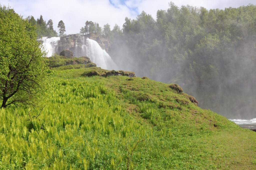
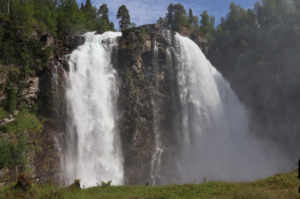
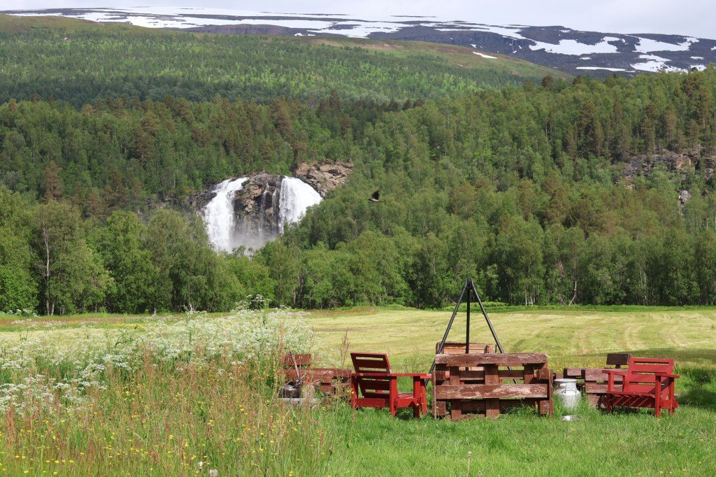
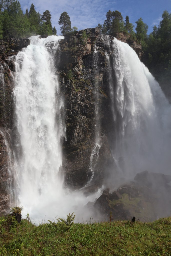
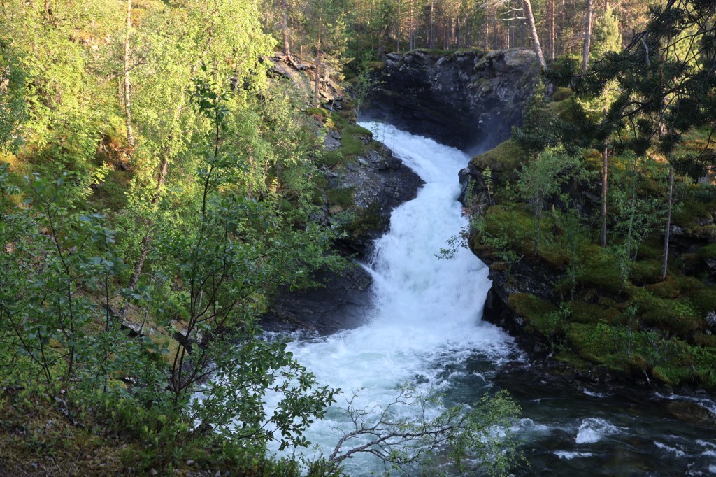
The fishermen told us about the waterfall up the glen on the Tverrelva. Next day we went to see it. We got soaked climbing up to the WW2 bunker built where the spray lashes it from May onwards. I wonder if they knew we would? It freezes completely in winter, we were told.
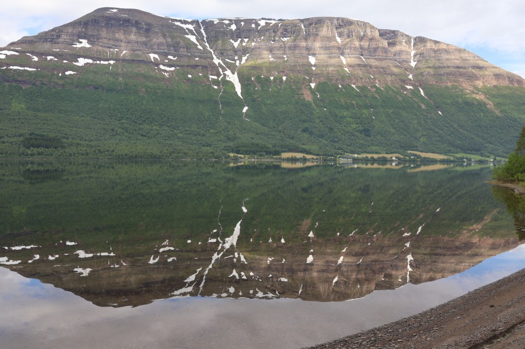
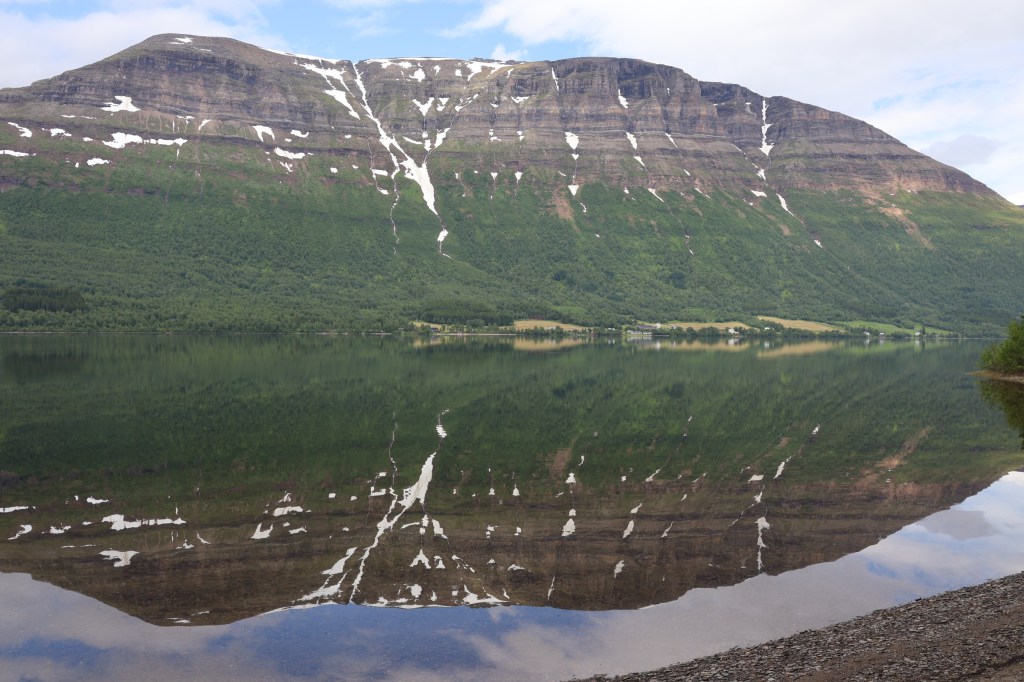
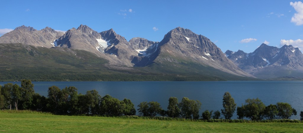
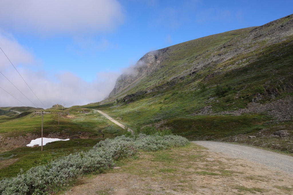
Lyngen is the mountainous peninsula east of Tromso with many glaciers and rocky peaks. It is almost cut in two by the low ground at Lyngseidet. We had walks in the Southern part at Elvevoll and then to the northern tip of the peninsula.

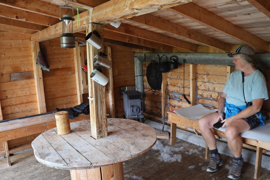
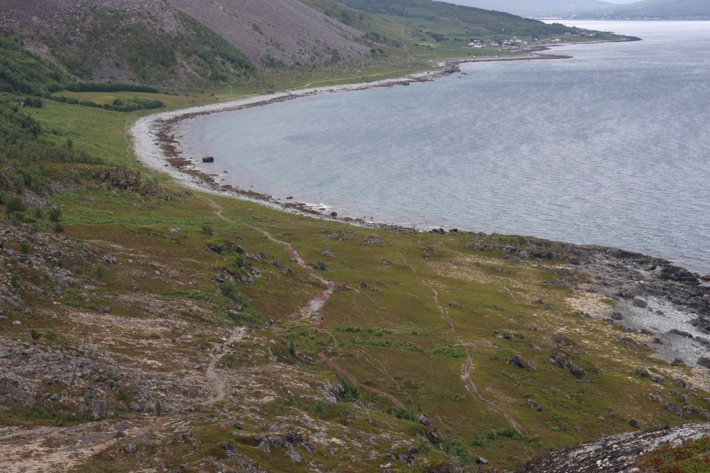

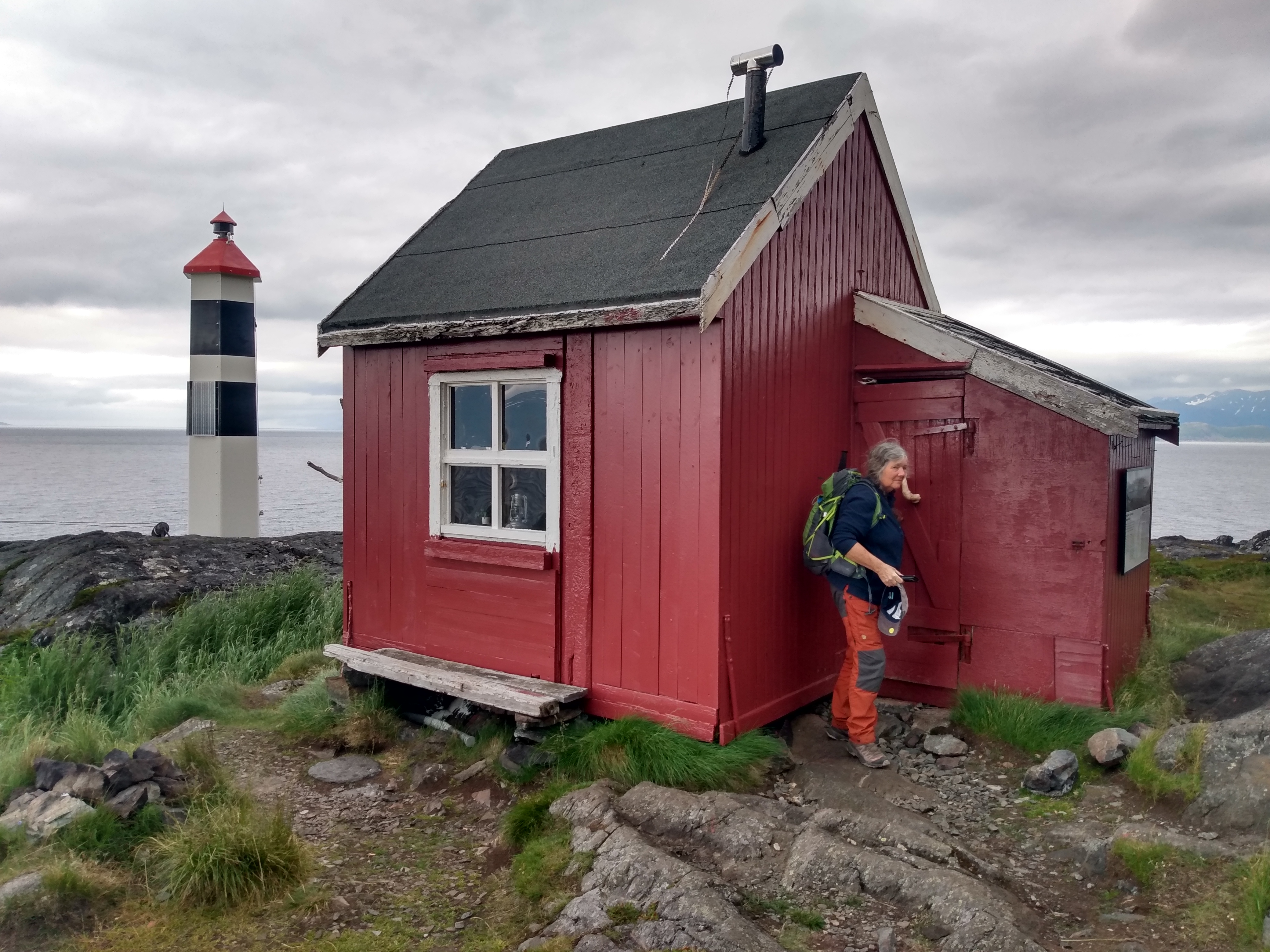
The northernmost point is a fascinating walk of about 6km, with prehistoric remains and interesting landslipped rock. There is a bothy, Lyngstuva, near the lighthouse.
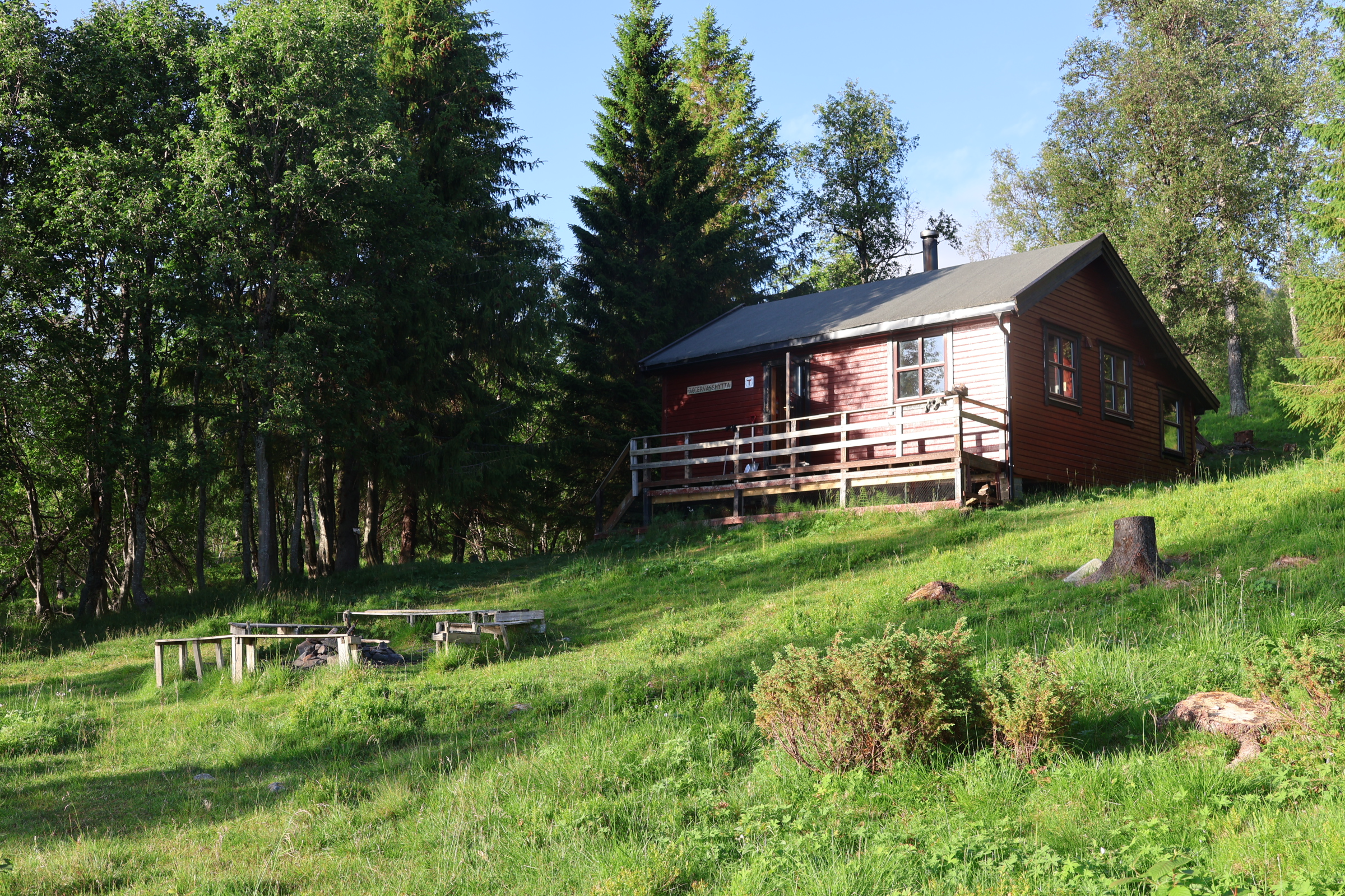
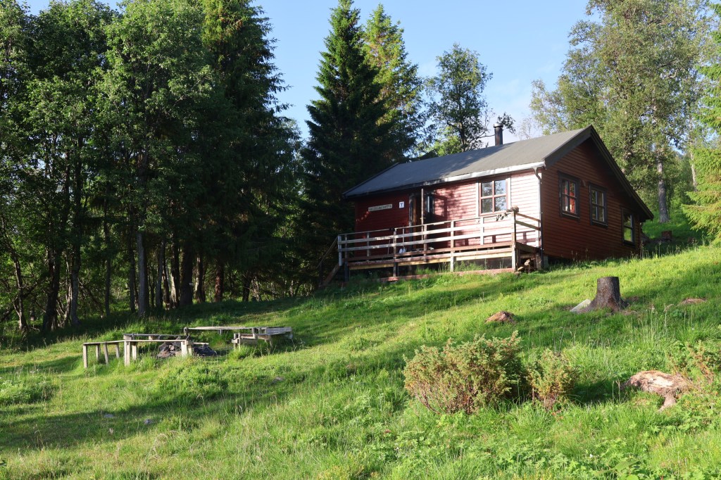
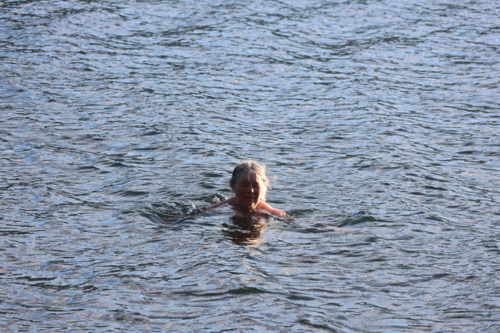
Our visit to Lyngen was crowned with a one night stay at the isloated lake-shore cabin of Jægervasshytta. We backpacked in to find the popular hut empty. The weather was good, the water inviting… And next day we had a walk up the steep slopes behind to see the river falling from glaciers on the mountains.

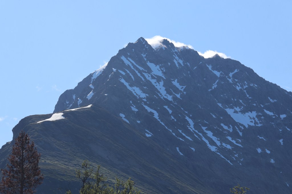
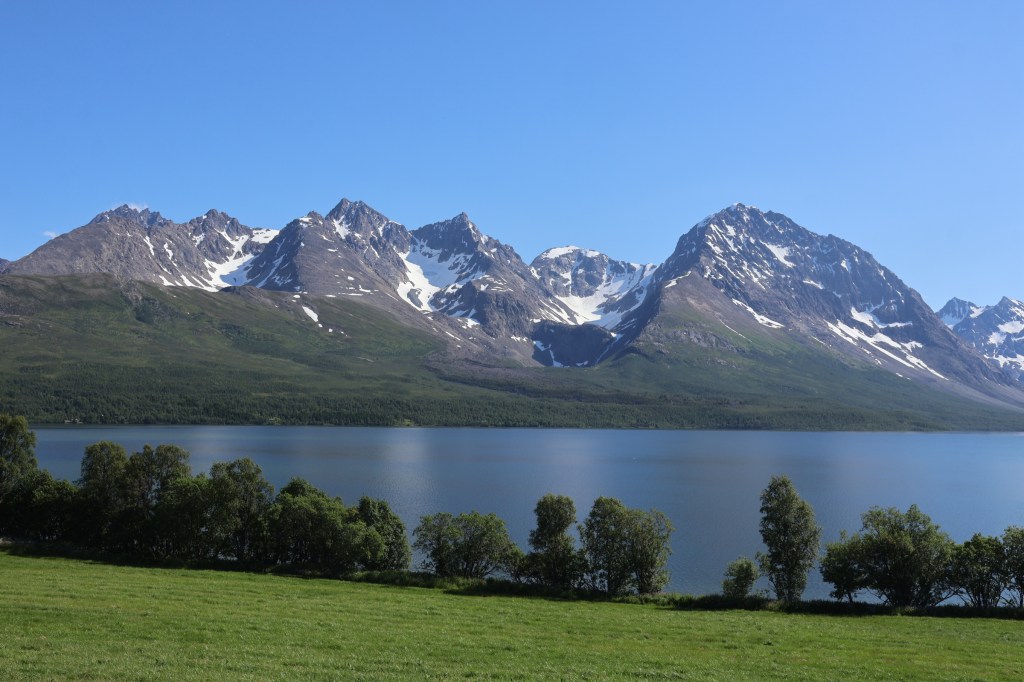
These pictures show how much more snow was present in 2025.
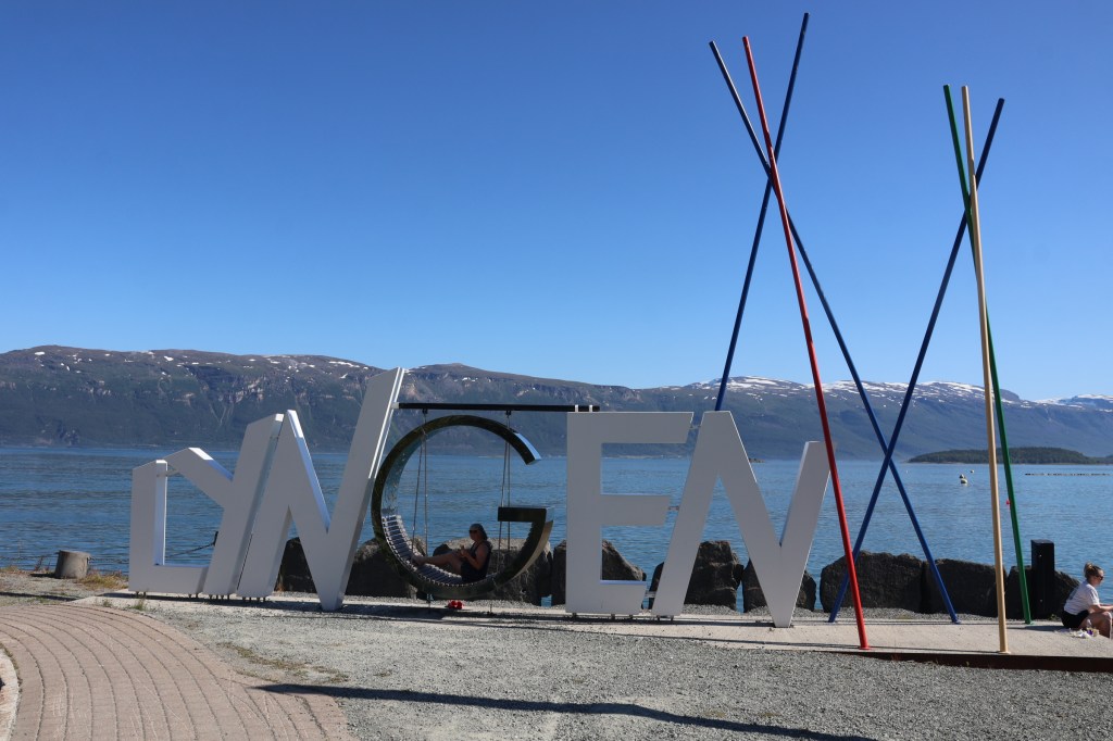
That was Lyngen. We had another visit to Lyngseidet (village) where we lost a bank card, possibly sitting on the swinging G of this sculpture.
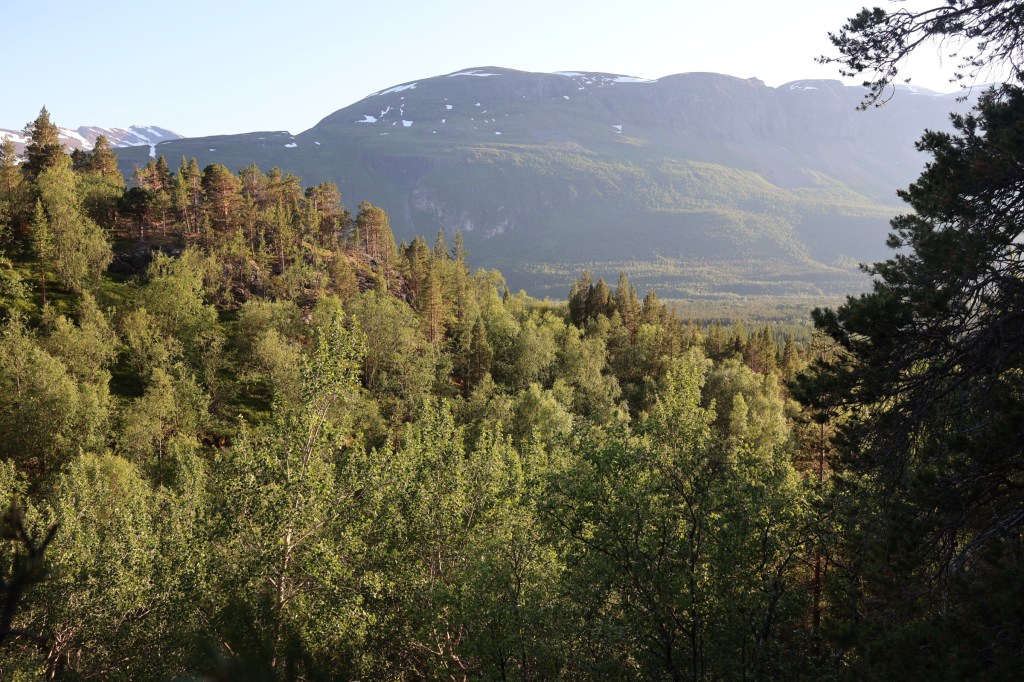
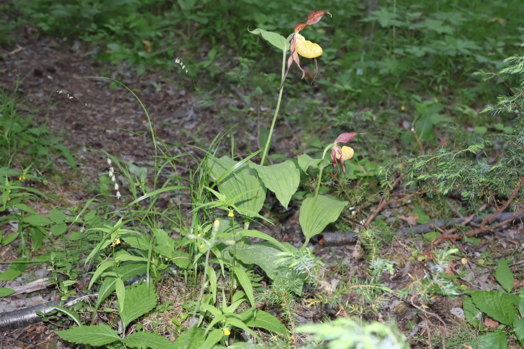
We considered camping at Skibotn but found the tourist season in full (maddening) swing and escaped to Lulladalen. Here was peace, lime-rich woodland and lady’s slipper orchids.
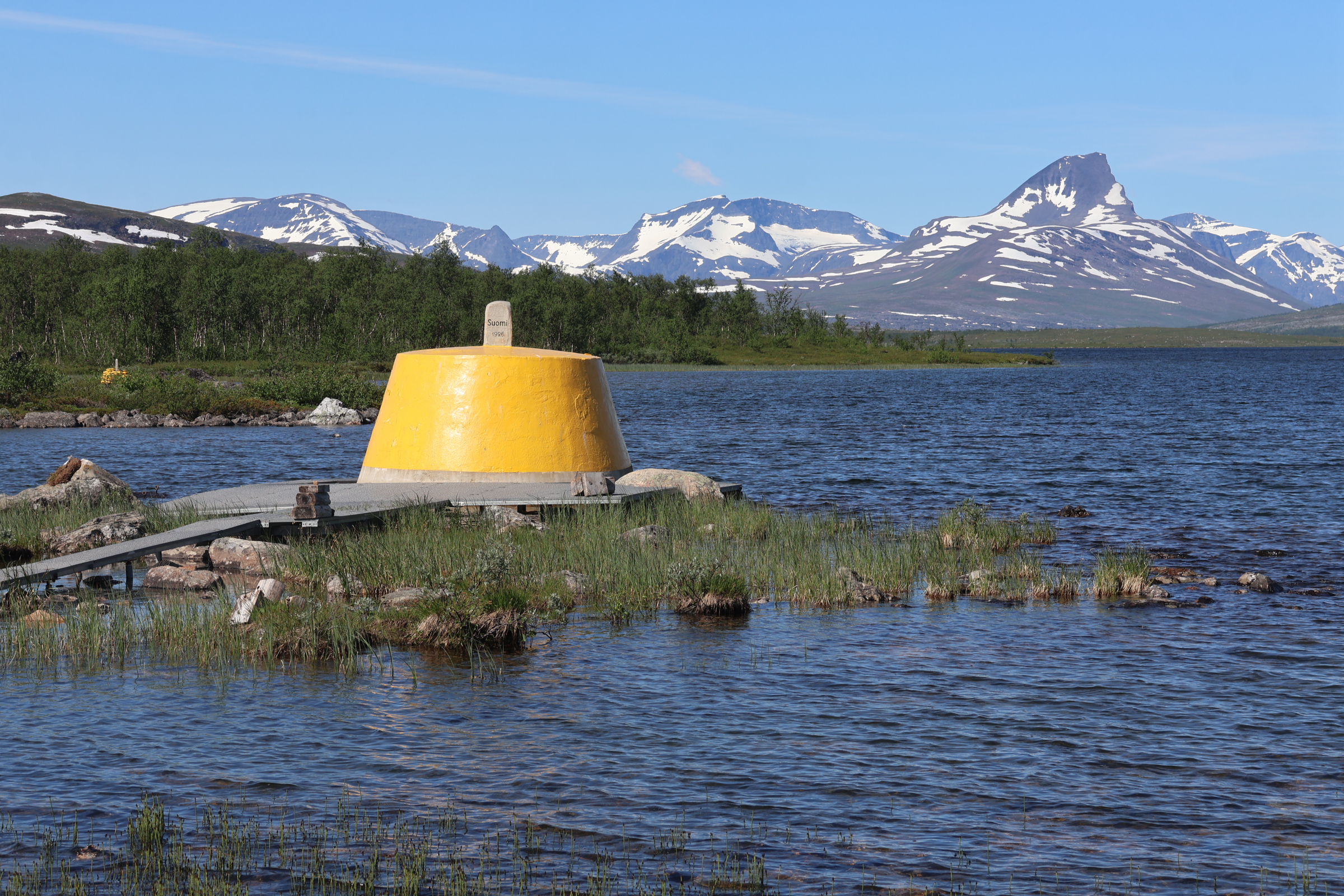
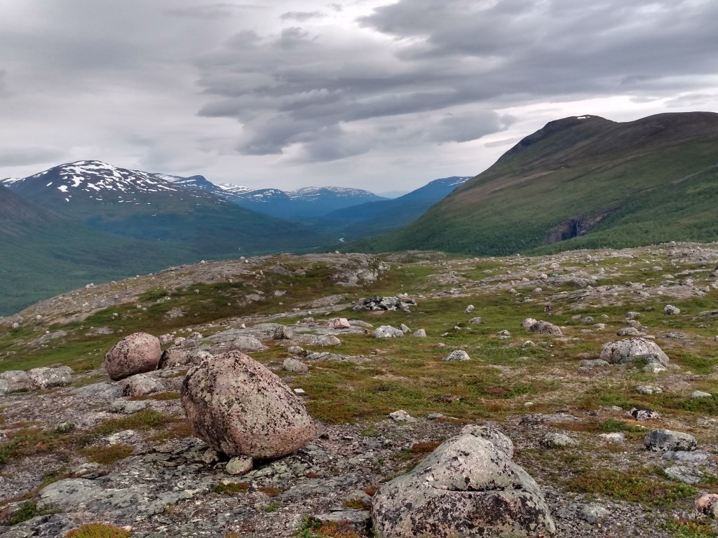
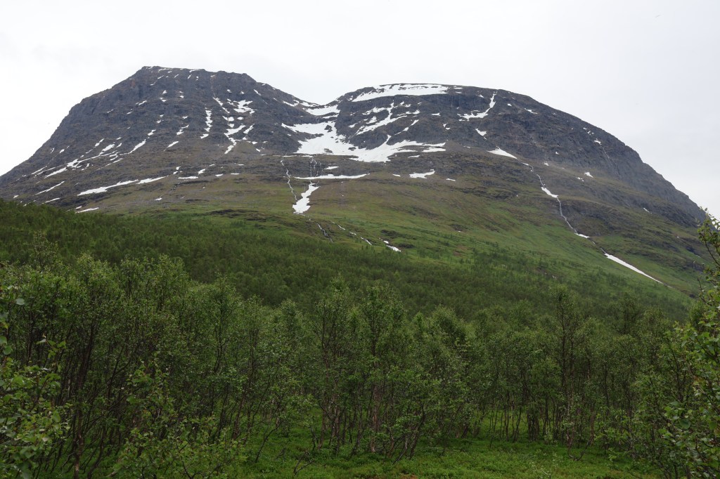
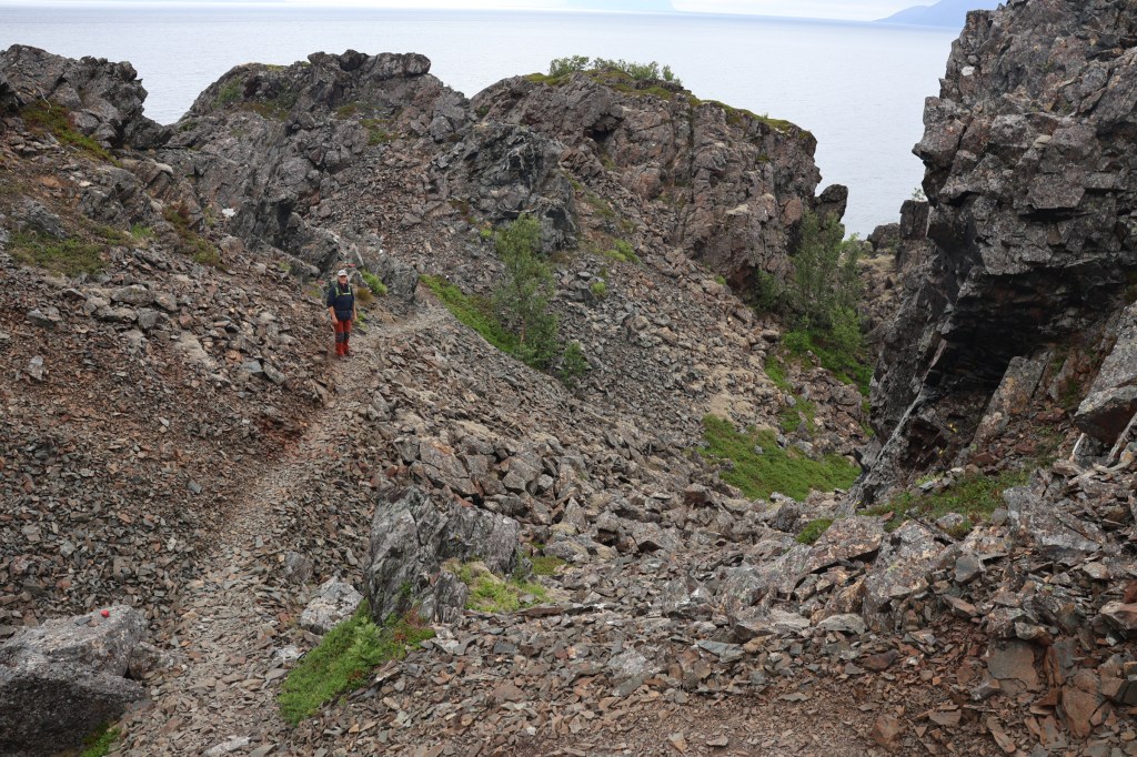
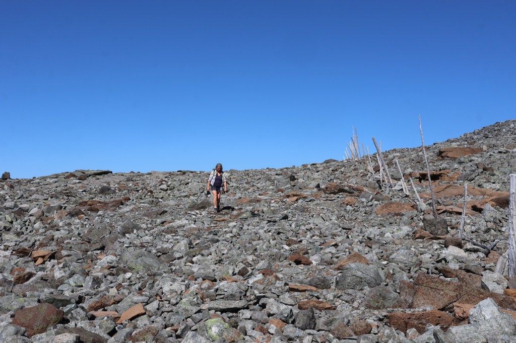
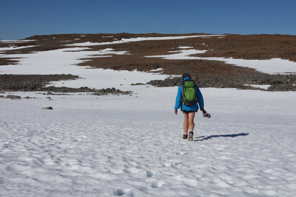
Our next adventure was to visit the highest point of Finland, by paying for and driving up 27km of mostly gravel road. From the upper end, by a large lake, the trail soon disappears into a boulderfield where there is virtually no possibility of living creatures surviving, so harsh is the climate and deep the cover of loose boulders. This continues for 6km to Hàldi and slightly more back by Raisduottarhàldi. We had sunny weather though breezy later.
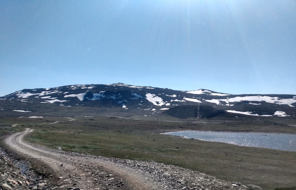
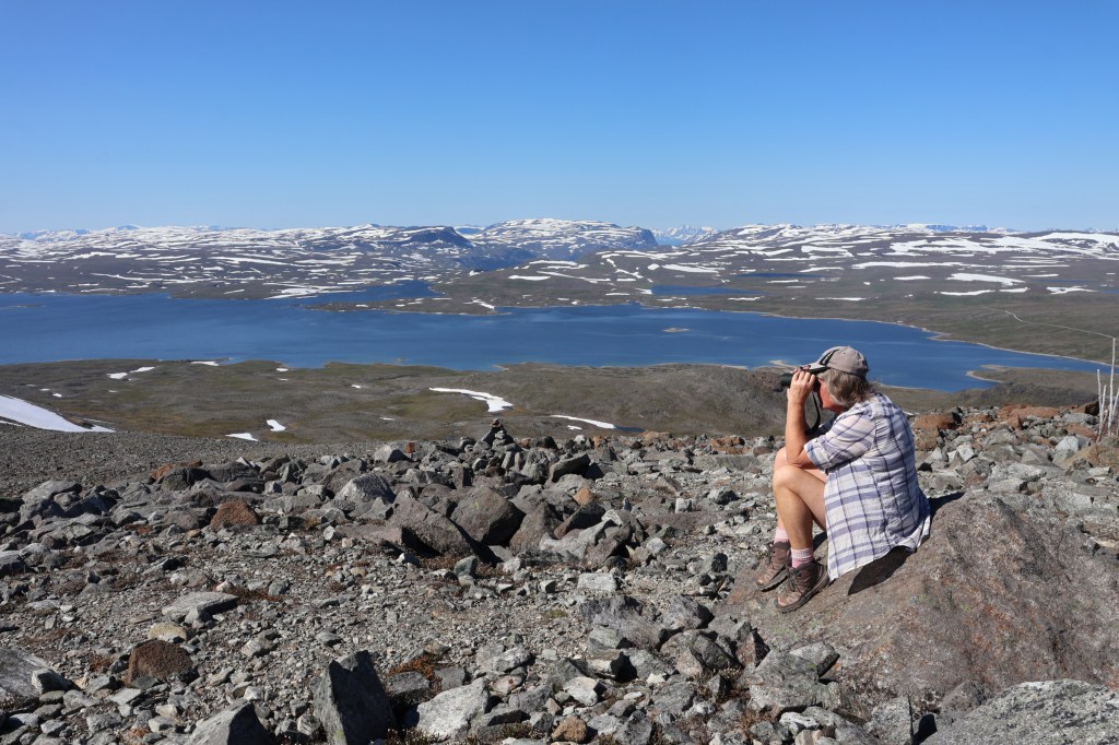
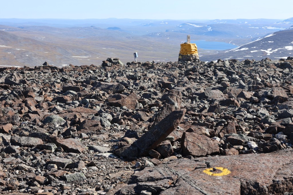
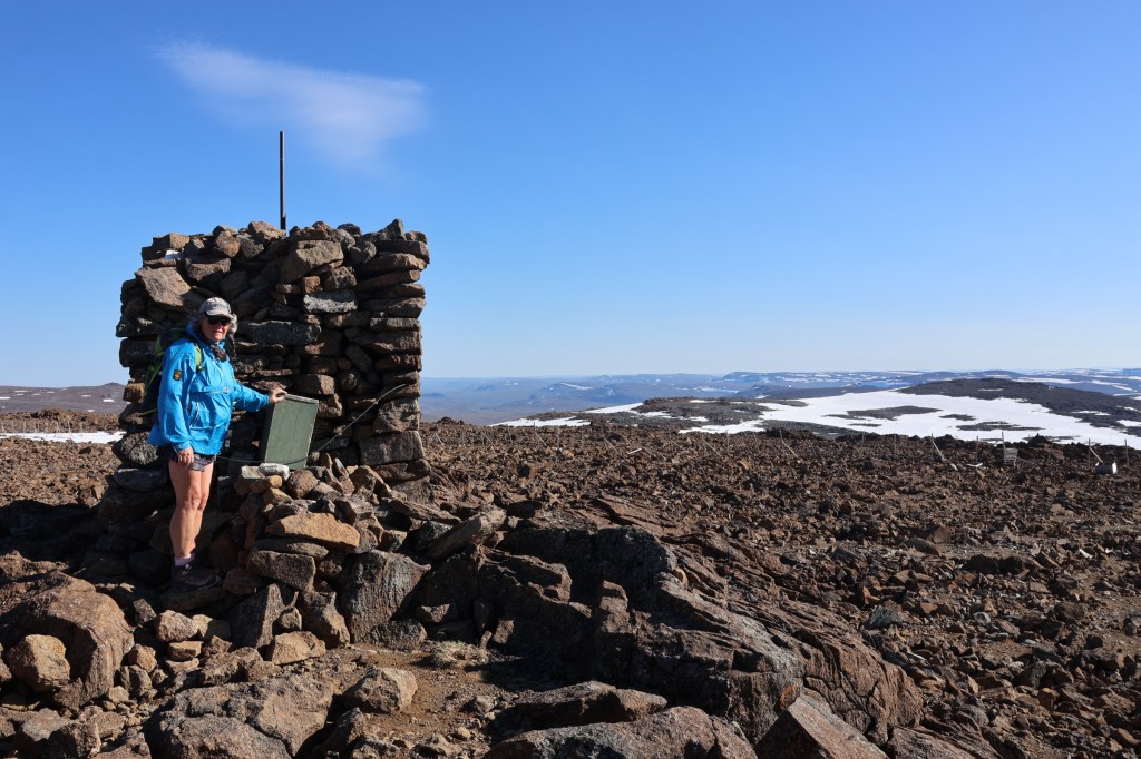
The highest point in Finland is not actually the top of the hill it is on, and the neighbouring mountain, Raisduottarhàldi, is higher.
Next day the drive down allowed a visit to Gorsa bridge, another piece of exuberant Norwegian engineering.
Our other northernmost point was Sweden’s, which is on the Finland page.
