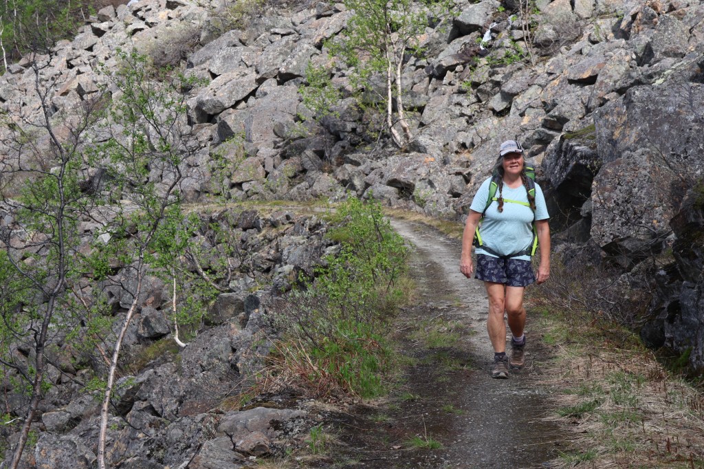
We travelled north on Kystriksveien to Bodø and after a visit to Sjunkhatten National Park went across to Lofoten for a few days, returning to the Northern part of Nordland round Narvik.
Low cloud and doubtful weather greeted us to Bindal in the South, so we went to Torghatten first.
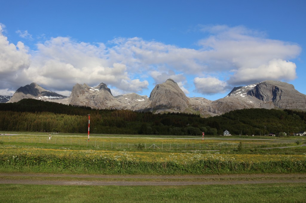
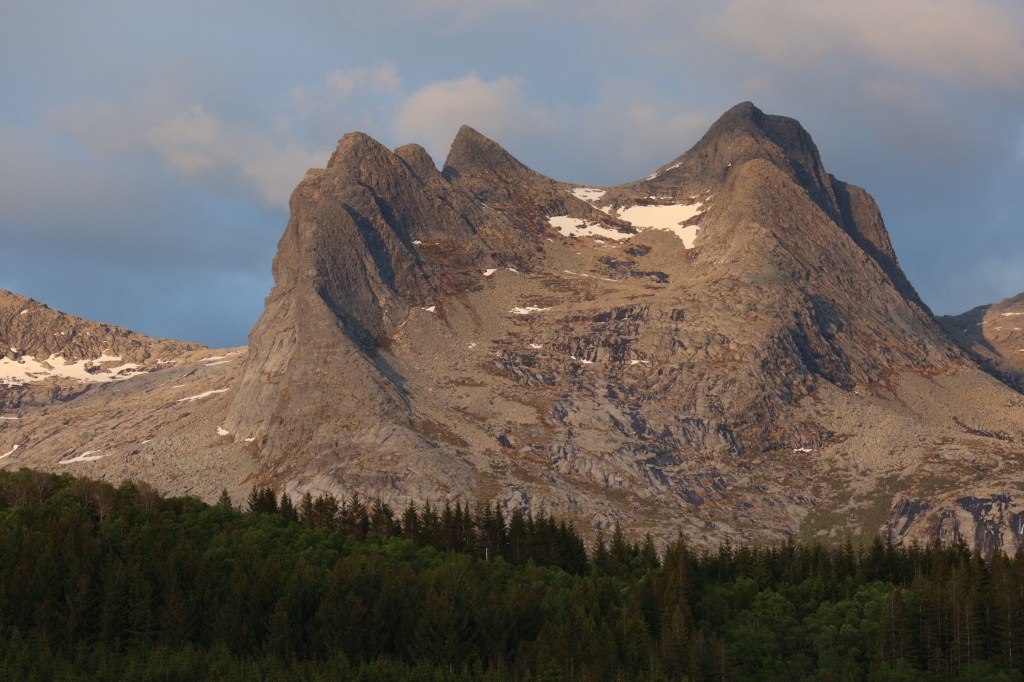
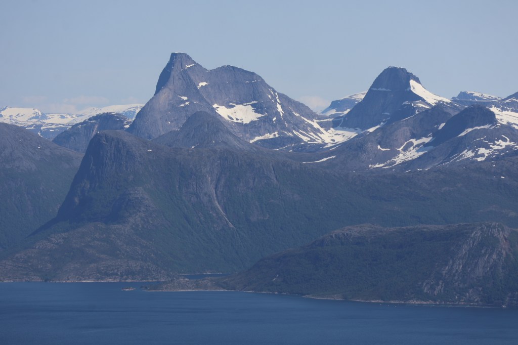
Just north of Brønnøysund is the mountain range of De Syv Søstere (The Seven Sisters). We climbed the southernmost, known as Stortind (Big Peak), though it’s the shortest.

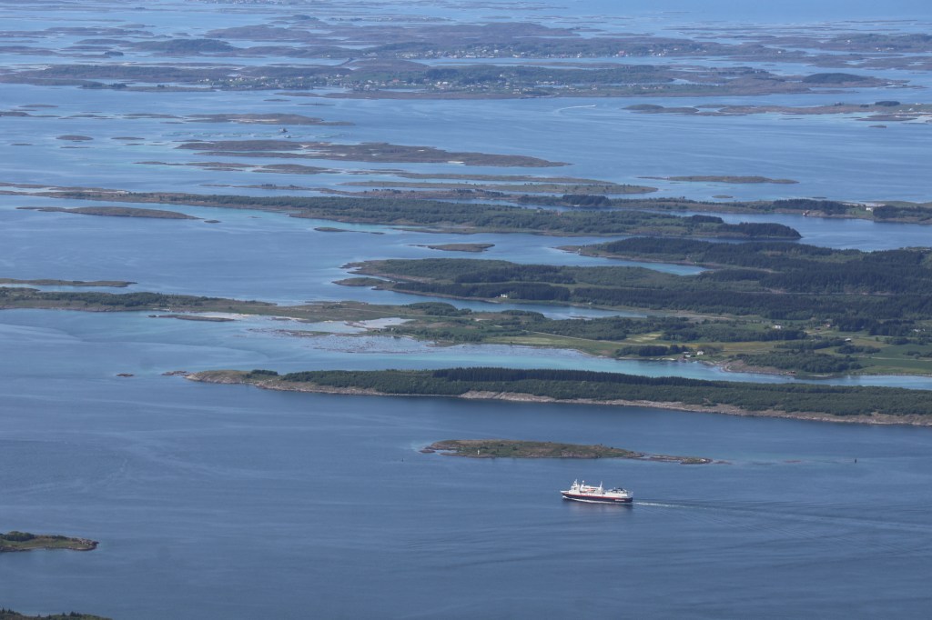
The next highlight was the Helgeland Bridge. This is best seen from the air. Try http://megaconstrucciones.net/?construccion=puente-helgeland. As we were earth-bound, we couldn’t get this perspective. It’s still a WOW.
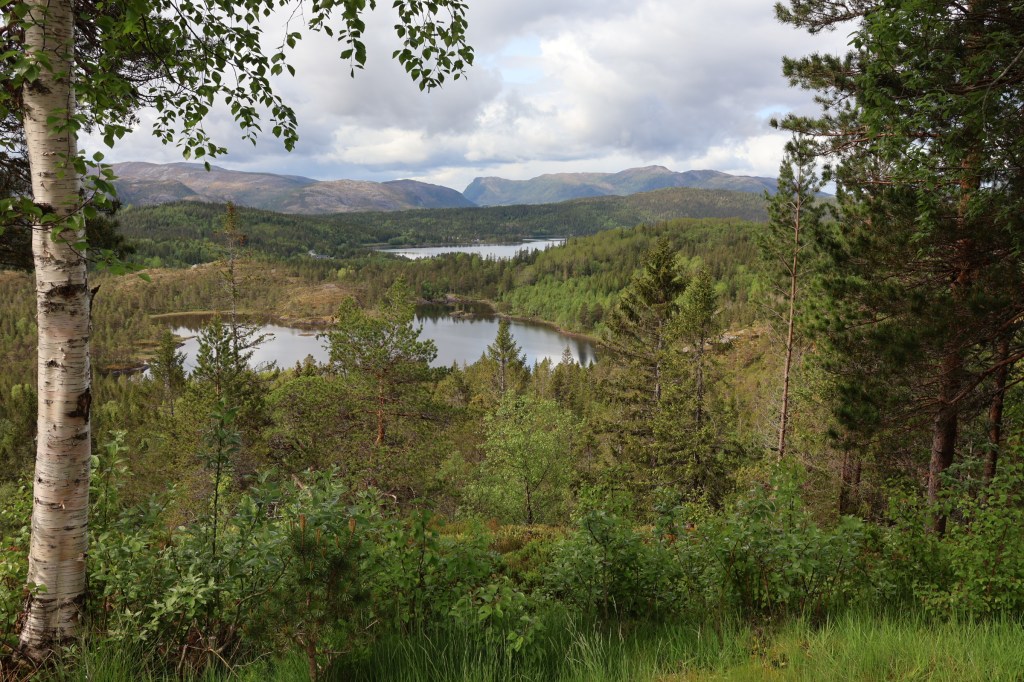
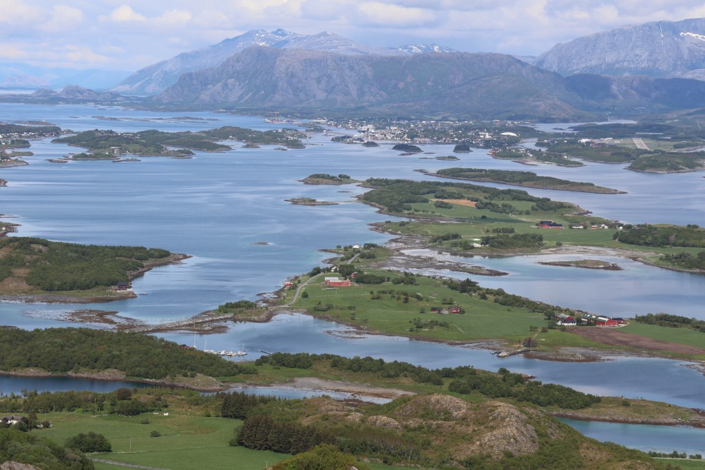
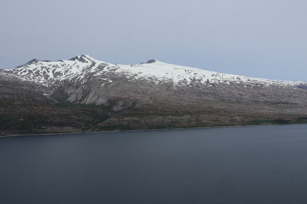
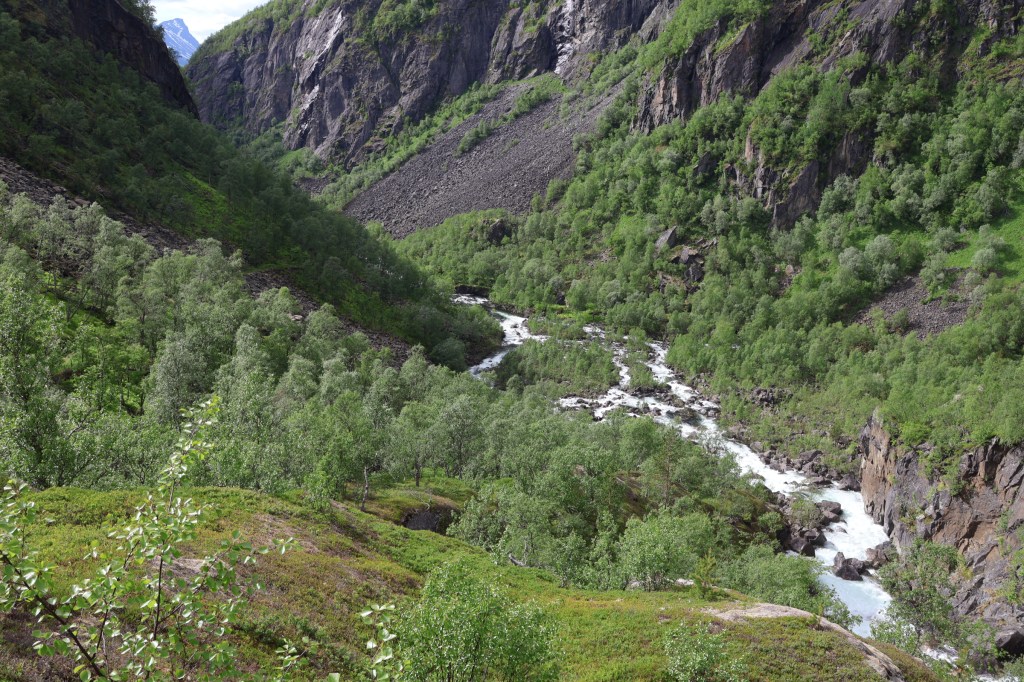
Another ferry and coastal strip but the route changes nature, becoming far more crowded by mountains. First viewpoint over Sjonafjord let us see the amazing slope opposite which appeared to be composed solely of rock slabs. When we got round that side we had a walk up to a tiny hut called Torten Kota, finishing with a paddle across a river to get to it.


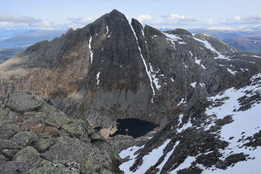
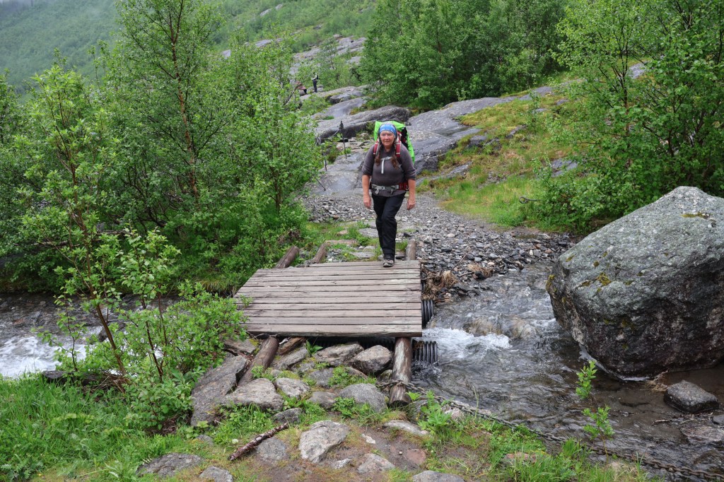
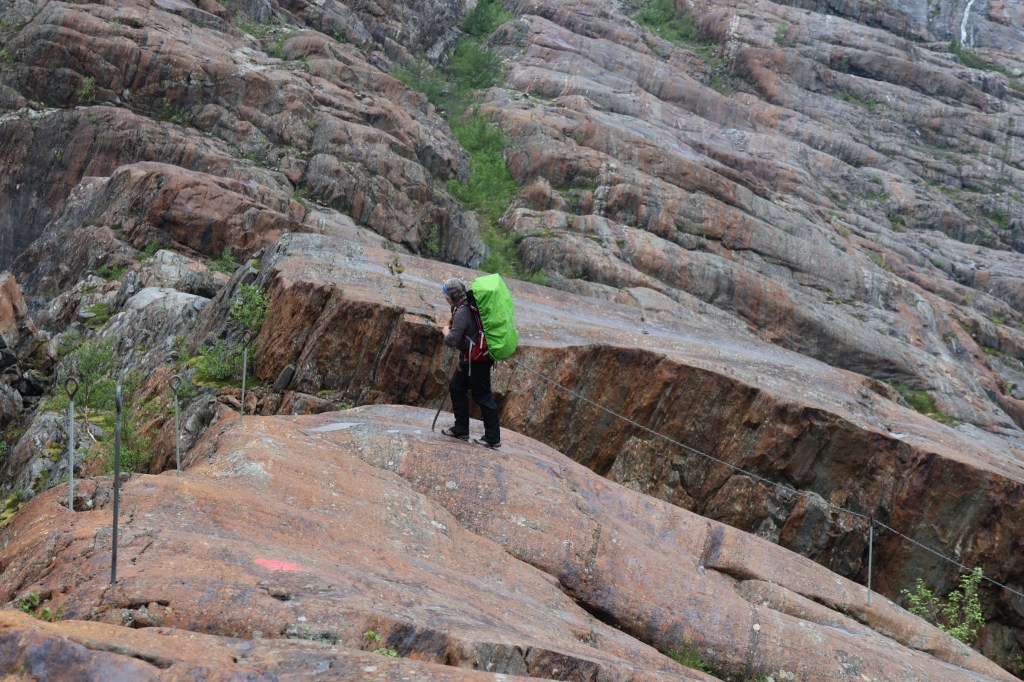
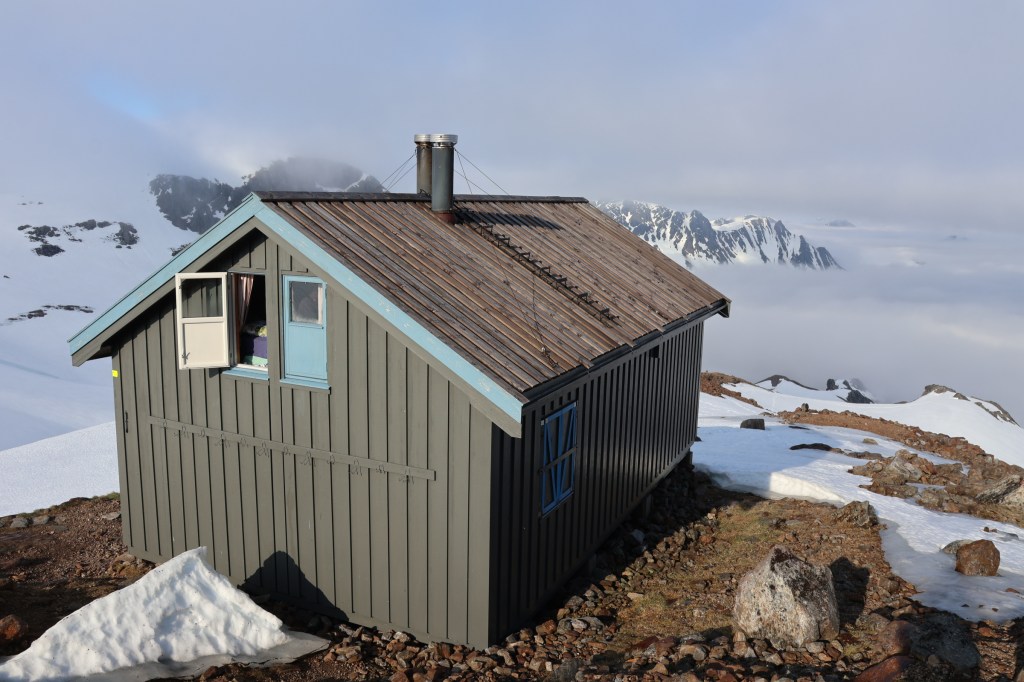
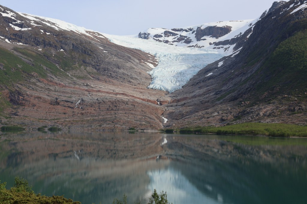
Our next plan was to use the DNT hut at Tåkeheimen. I had joined DNT and booked for the nights of 16th and 17th, but the weather looked foul for those days and fair for 15th, so, risking it, we decided to go up to it two days early. Getting there starts with a ferry across Holandsfjorden. A section of flat farm road leads to a lake in full view of the Engabreen glacier. Trails lead up to the slabs below the glacier, and then our steep approach to Tåkeheimen started.
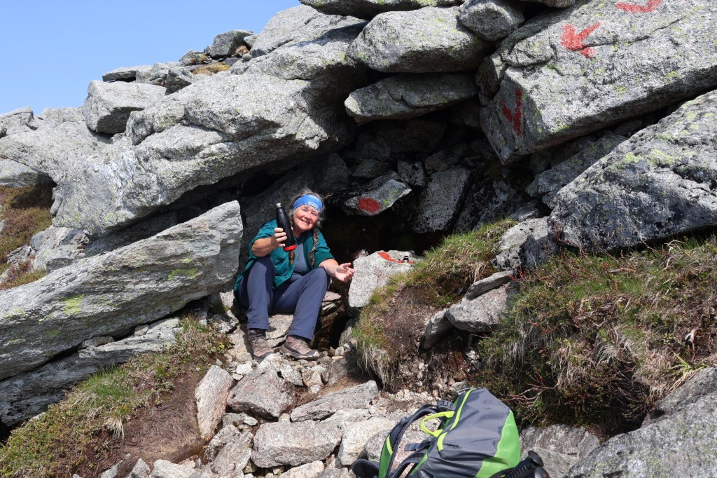
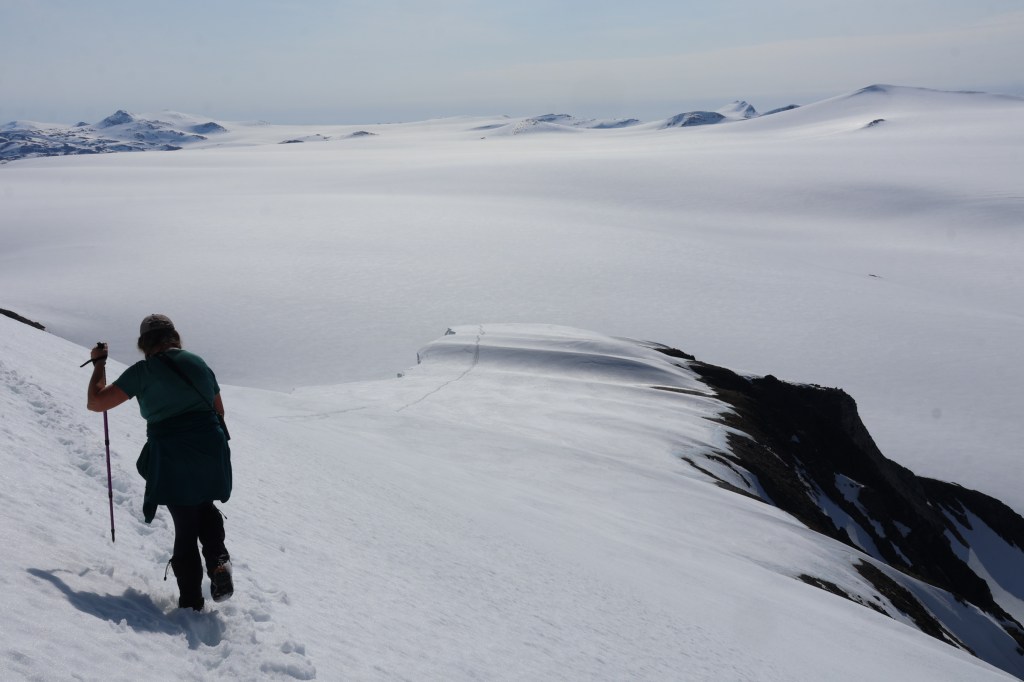
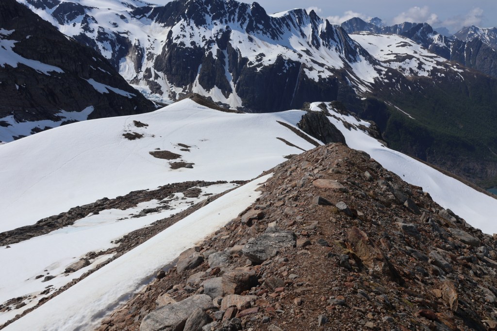
We climbed into cloud about 900metres, just as we met large snow patches obliterating the path and the guide marks. There was a difficult section when I commented that I had rarely felt so dependent on finding the correct route in whiteout with no prior knowledge or landmarks. Some of the snow was very icy. We used crampons and ice axes. We headed North East, which felt right and was encouraged by our information on mobile phone, and started to find cairns and marks again. The hut loomed out of the mist about 30m away.
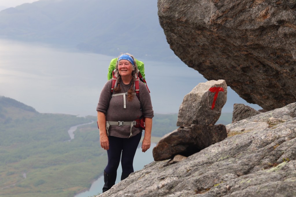
Tåkeheimen is a mountain hut at 1073m. It is a bit like a youth hostel. It was busy and filled up, just enough to leave us a bunk. I was really tired and was asleep by 9pm, hoping for better weather in the morning. We got it.
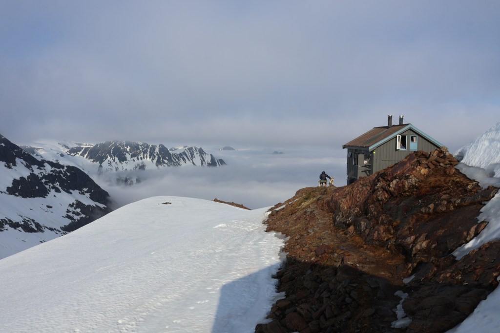
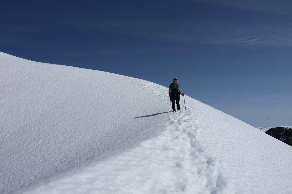
Bright and early, we set out for Helgelandsbukken. Two parties set out before us. Both soon stopped or turned back, so we were kicking steps in soft snow.
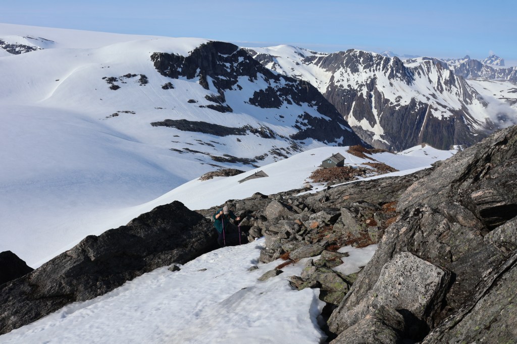
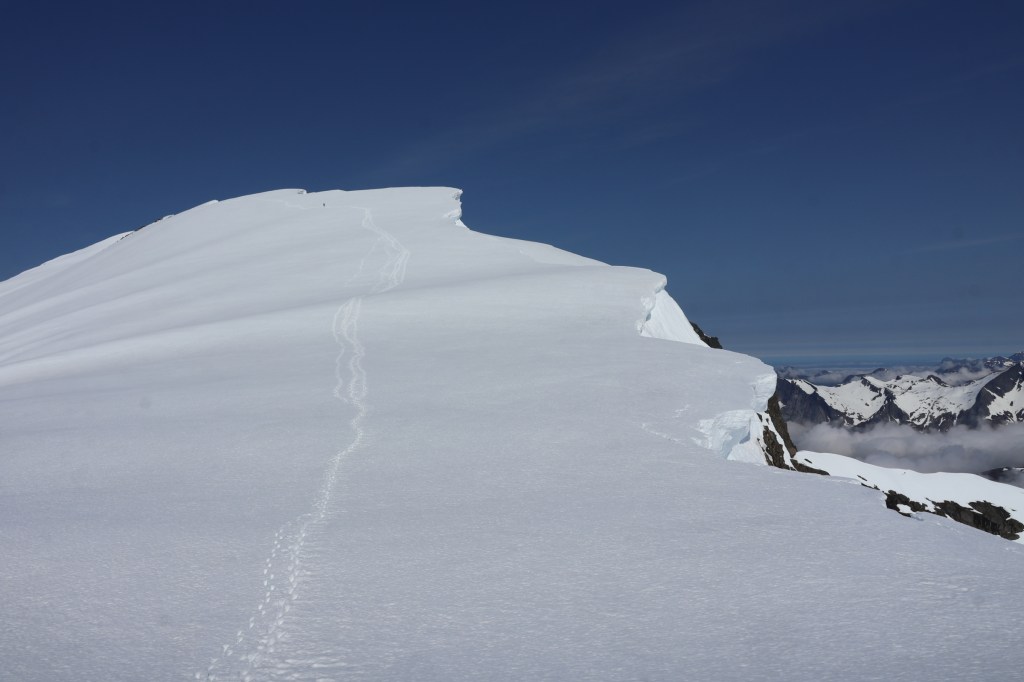
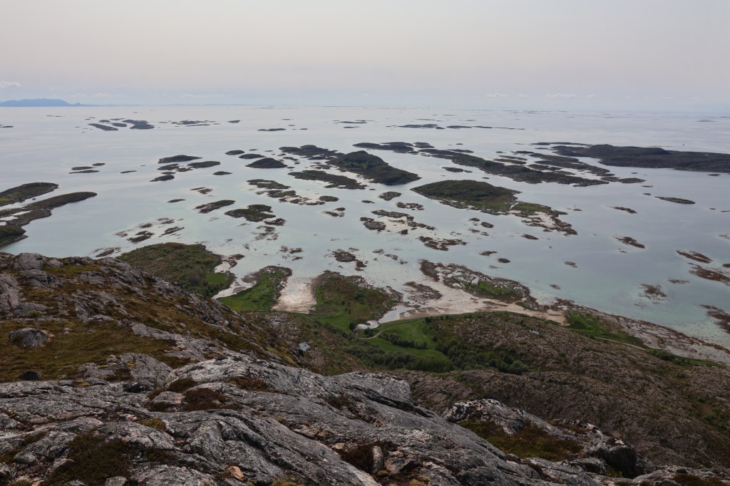
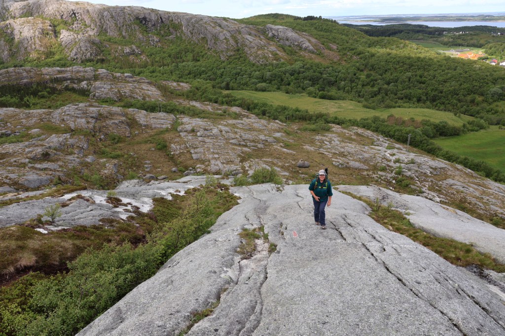
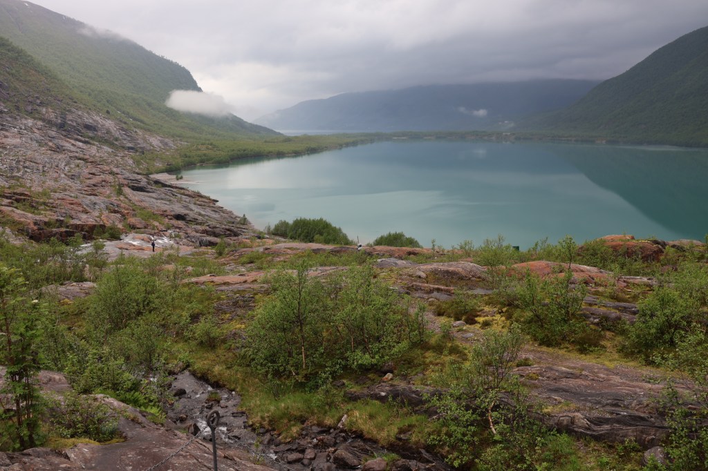
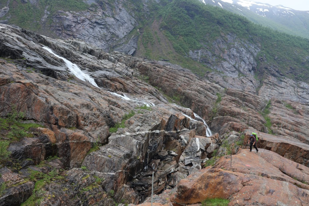
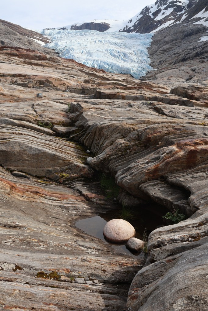
So, down again. Easy when there are footprints and clear views. We took a different route over the slabs, which were fascinating and featured a dinosaur’s egg.
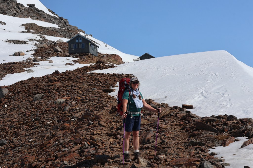


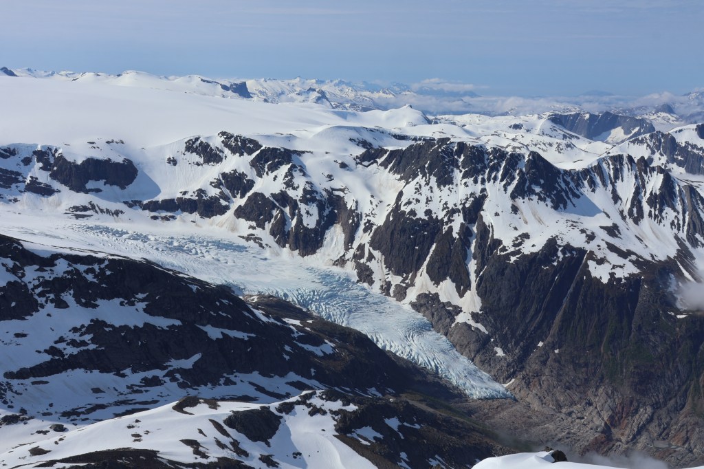
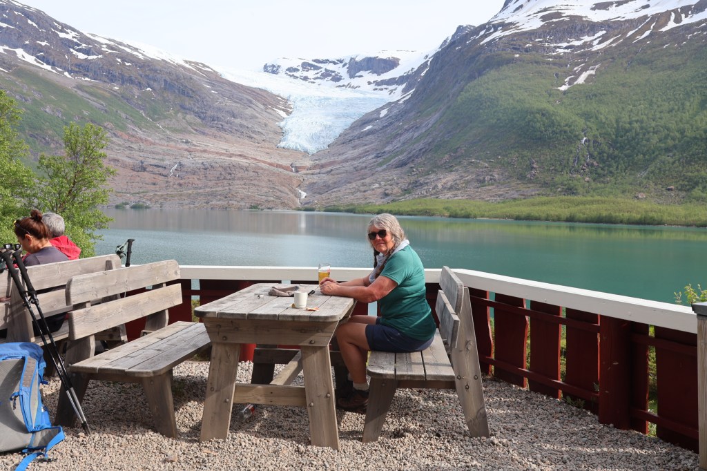
The day was not over. We had a meal at the Engebrygge restaurant with great views of the glacier.
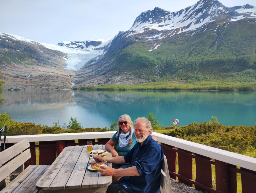
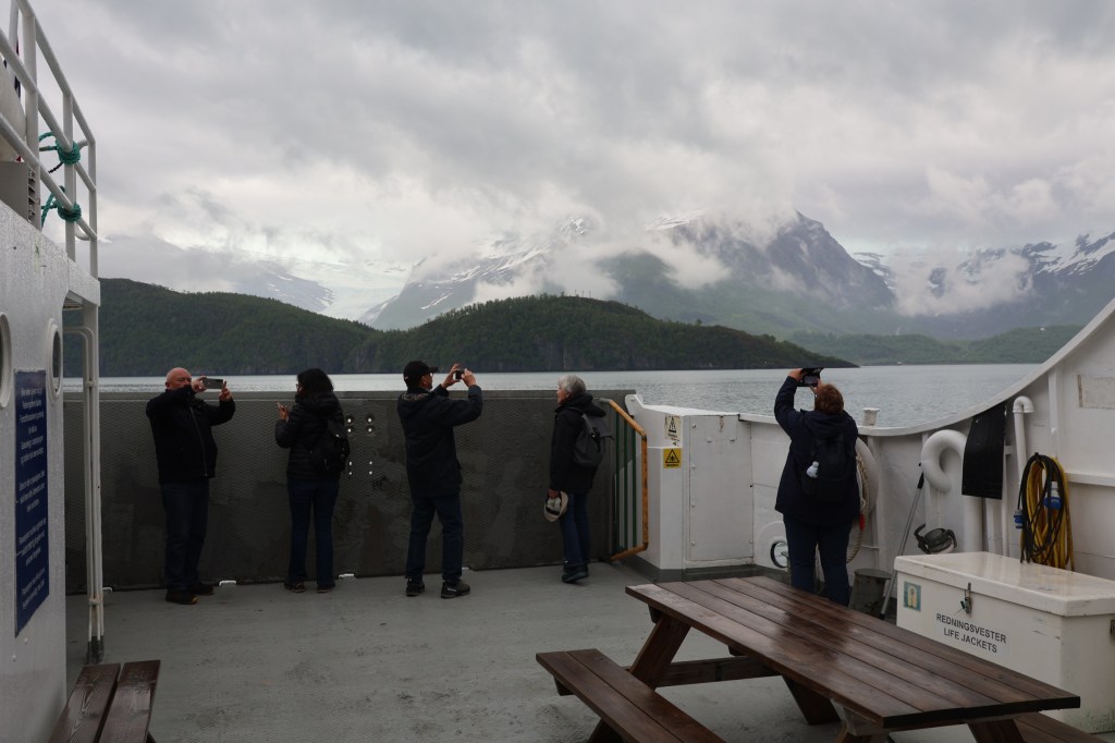
The visit to Svartisen and Engabreen was a great trip. Some aspects of the advertising made it sound very commercial but the people running the café and ferry were very friendly and genuine. We kept reminding ourselves of how short their season was and the intensity of their work on good days in summer.
The motor home season was already in full swing an our preferred campsite was full. We had a 32 km detour to Åmnes for a lovely out of the way camp with lots of sunshine, so we didn’t mind the detour.
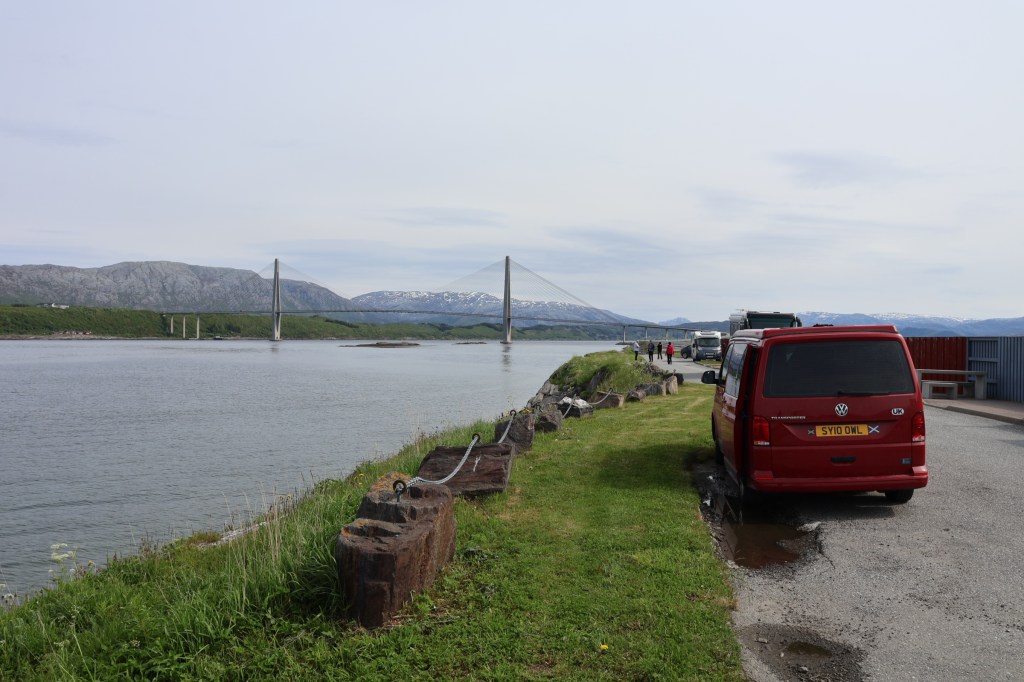
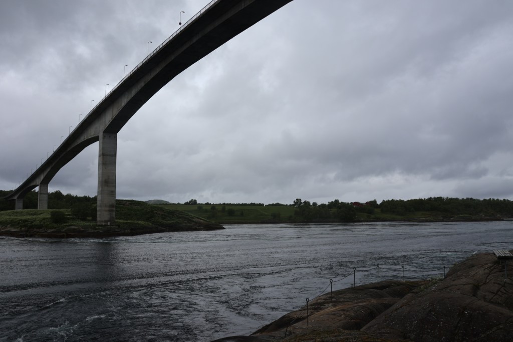
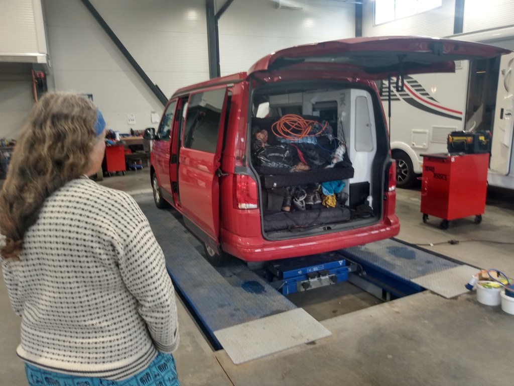
As forecast, the weather turned and we drove via the great tidal stream of Saltstraumen to Løding. Here another garage visit fixed a second fuse on the van and the leisure battery was up and running again.
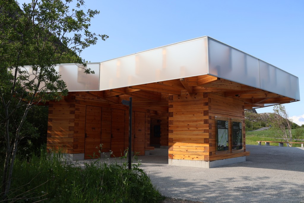
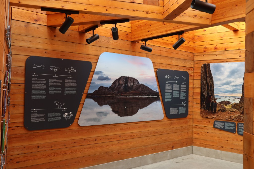
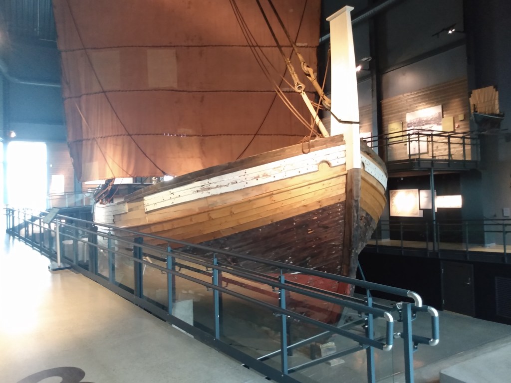
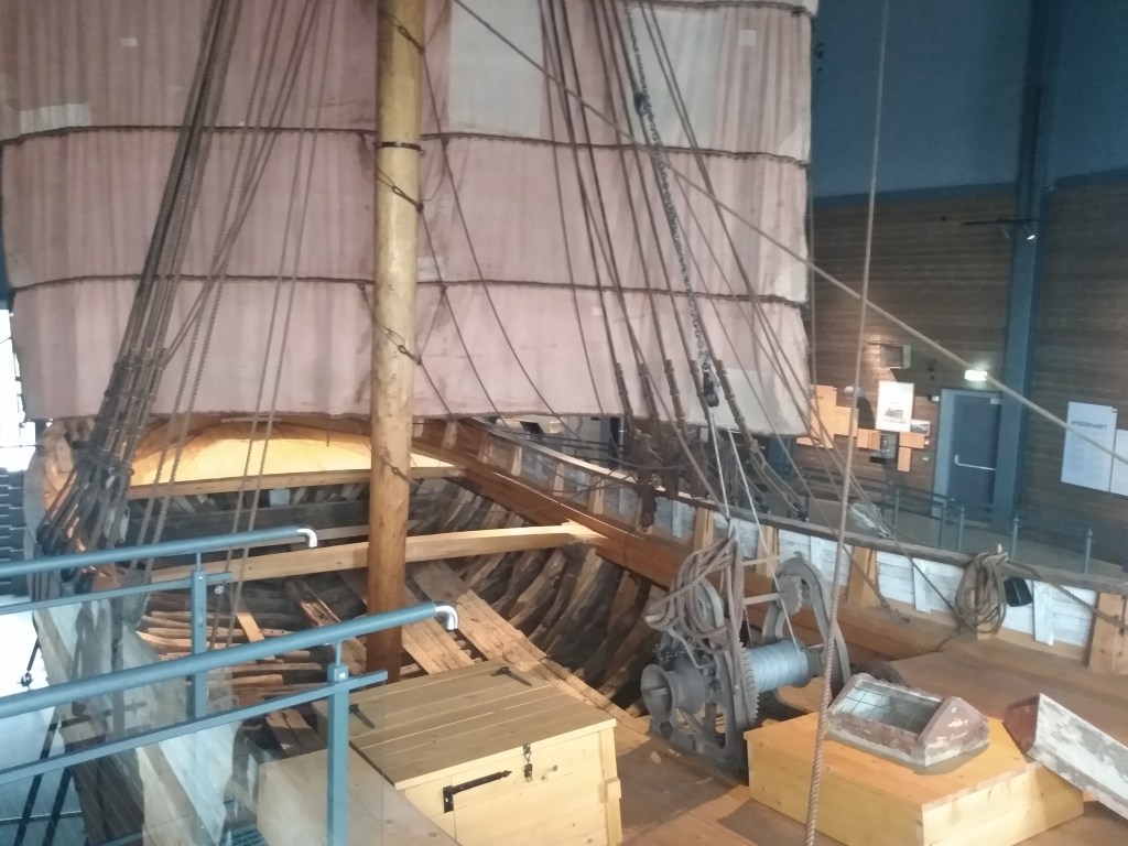
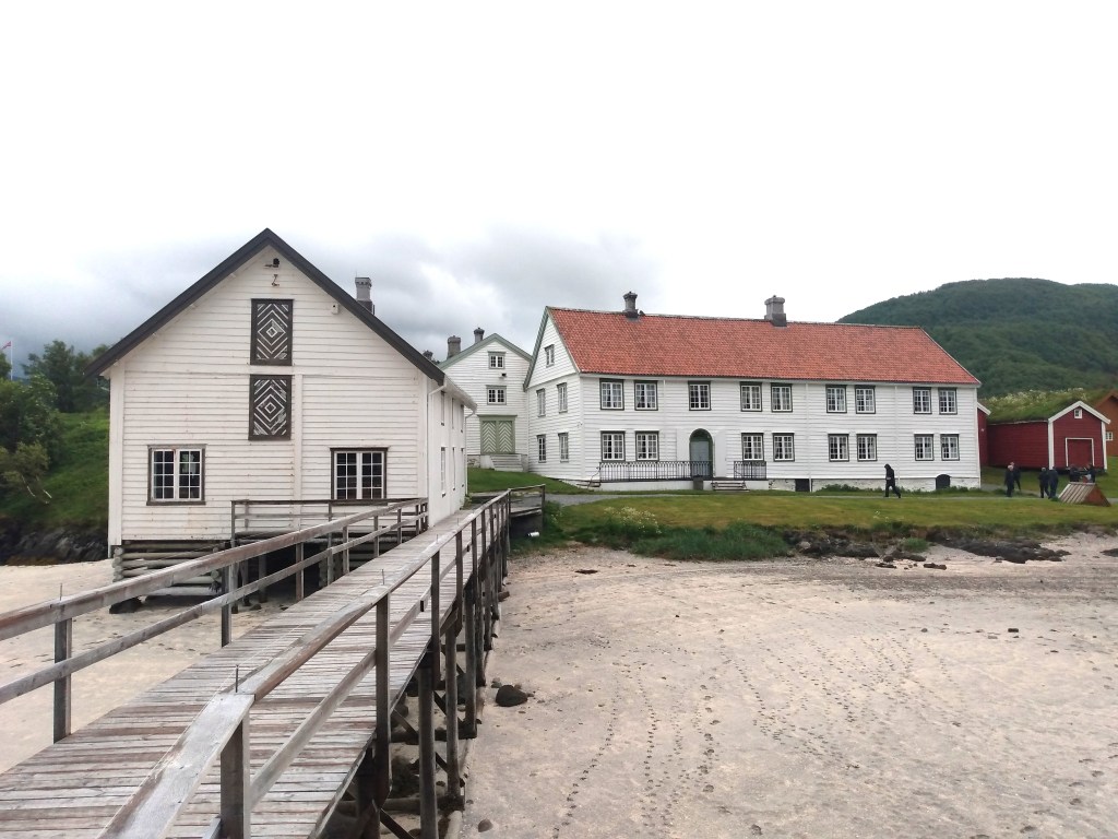
We made good use of the poor weather with visits to the Jektfartsmuseet in Bodø and then to the Kjerringøy Handel museum. This gave us a very good idea of the important trade in fish from Lofoten to Bergen as a major part of Norway’s prosperity until the mid 19th Century.

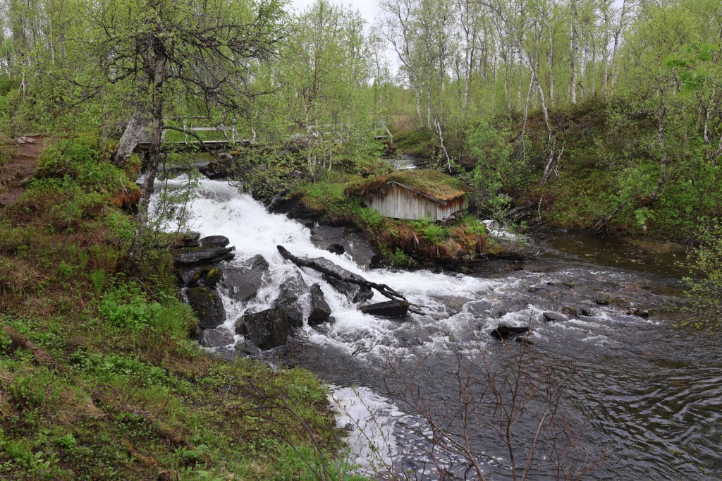
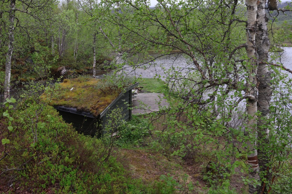
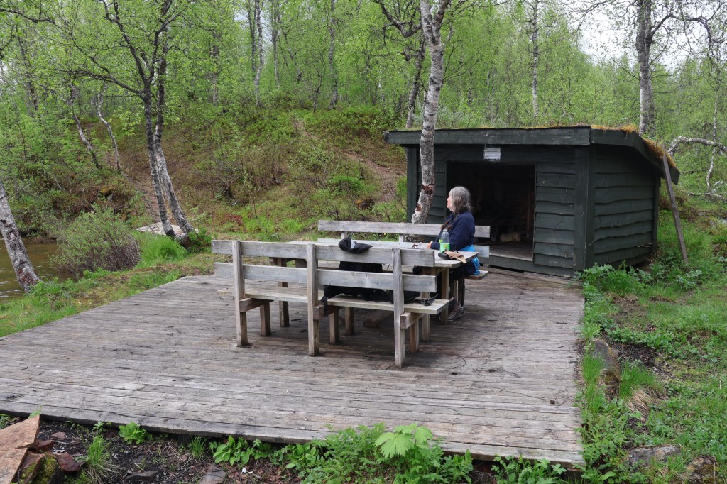
We made one more visit in this part of Norway, to the Sjunkhatten National Park. As the weather cleared we had another enjoyable walk through bogs and scrub woodland to an anglers’ gapahuk.
With the best weather forecast for Lofoten, we made a change of plan and headed for the ferry. This is one that cannot be booked. Vehicles just turn up and are loaded or left behind for the next ferry. We were lucky and got straight on. So we were off to Lofoten!
Of course, Lofoten was wonderful, and we finished on Skrova and came back to the mainland at Skutvik. Problems with the leisure circuit on the van wasted some time but by evening of 26th we had found a lovely informal site along a long gravel road.
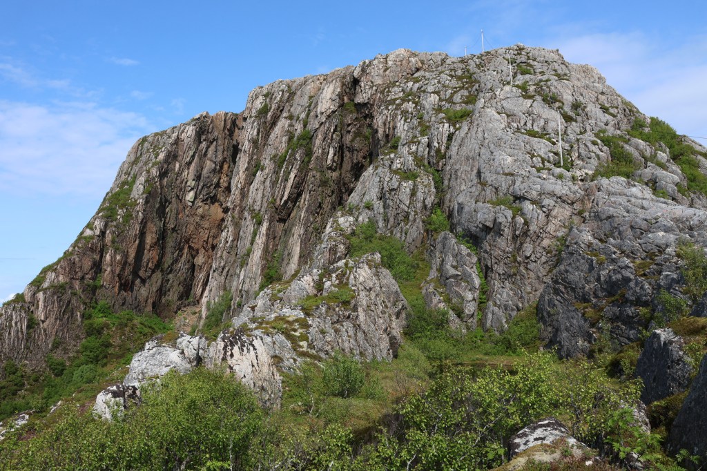
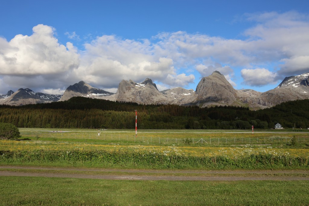
Fine weather for a day on another steep mountain, Hatten (meaning The Hat).
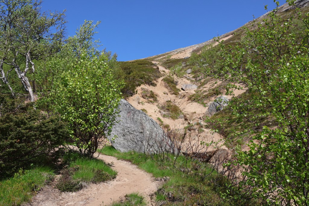
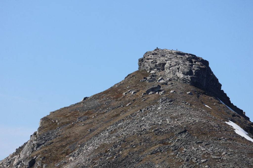
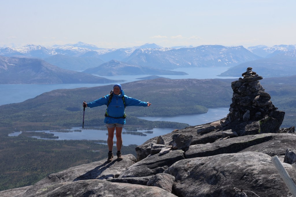
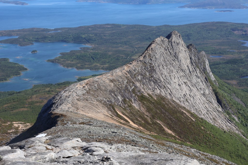
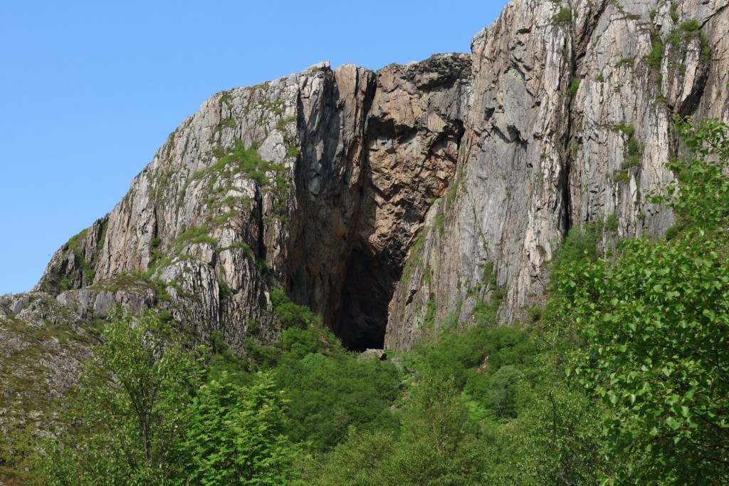
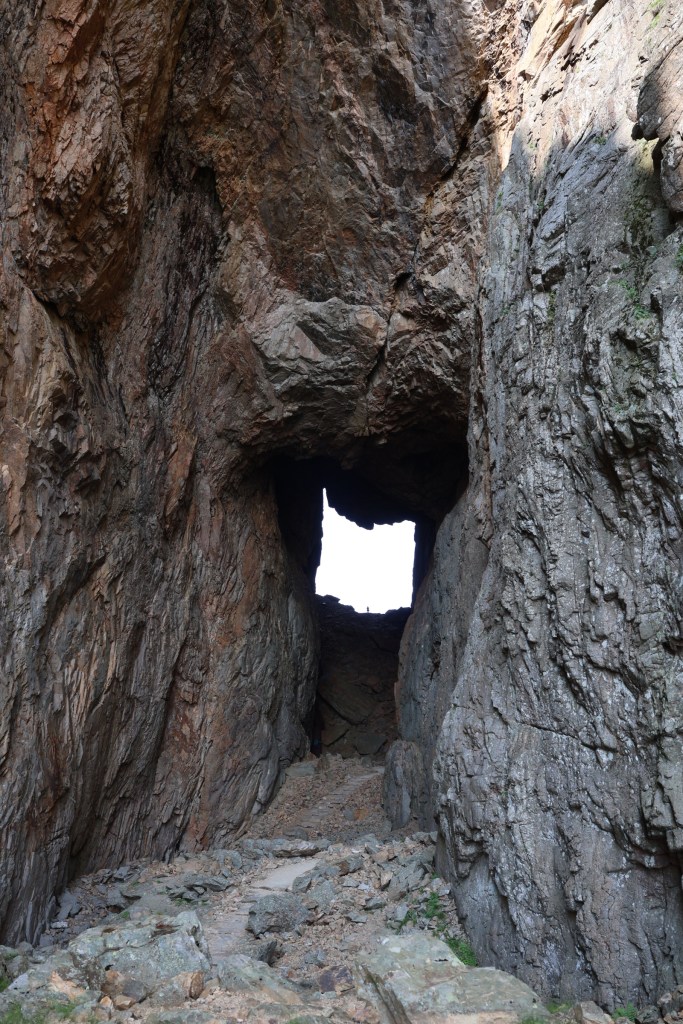
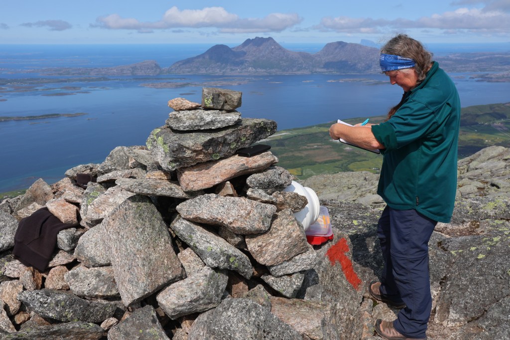
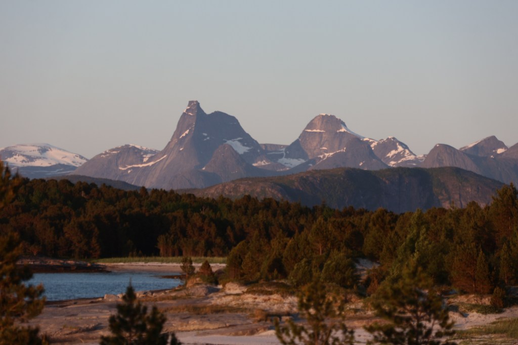
The path was very steep through the woods and emerged on a sandy slope to the summit ridge. After some more normal boulderfield we came to the hat, which was steep rock. Someone had provided a surprise which allowed us to access the summit. We also made a very enjoyable traverse to the lower peak on a blunt knife edge ridge. Norway’s national mountain, Stetind, was well visible from here. Hatten was a popular peak.
Our next adventure was from Narvik, a little north of there. We traversed Norway East to West on foot in a day, well nearly.
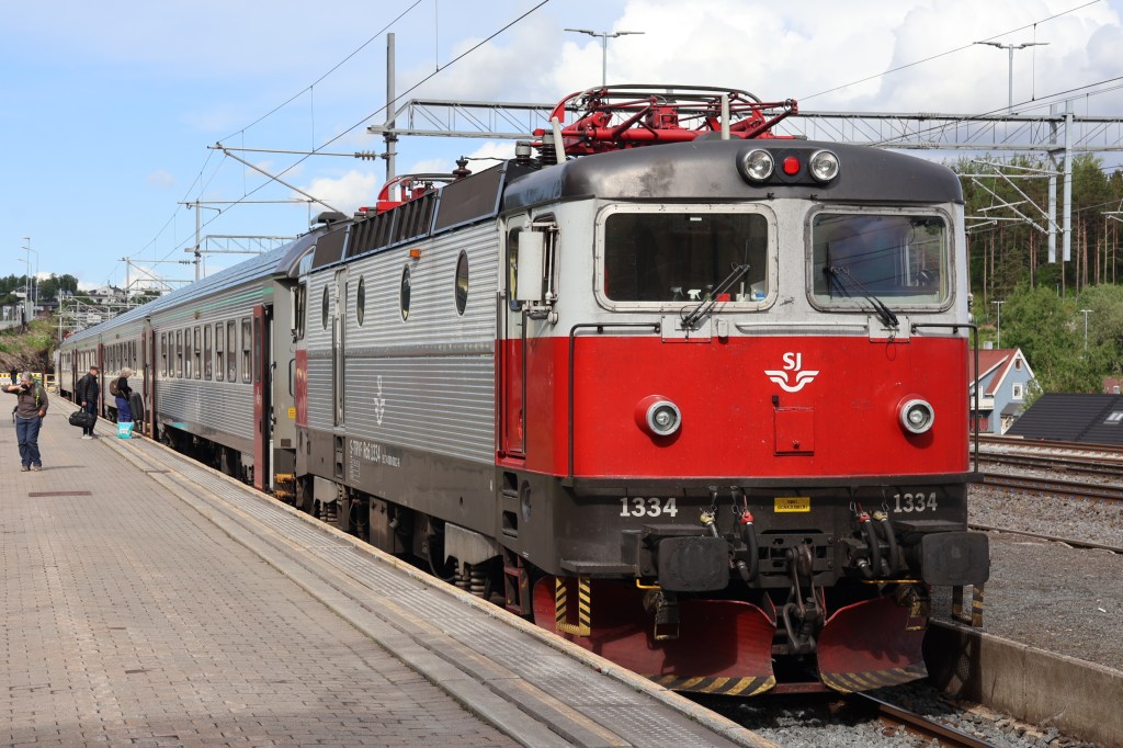
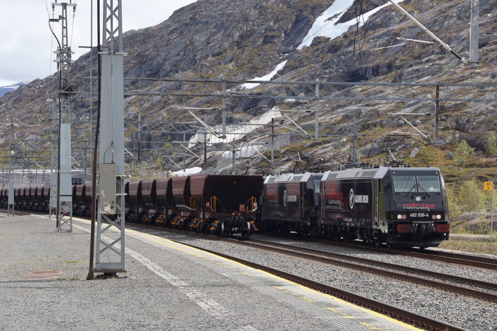
We took the train from Narvik to Riksgransen in Sweden up an astonishing line and walked back on the old road constructed for the railway workers who built it, the Rallarveien. Most rail traffic here is the iron ore from Kiruna, in Sweden. Millions of tons a week.
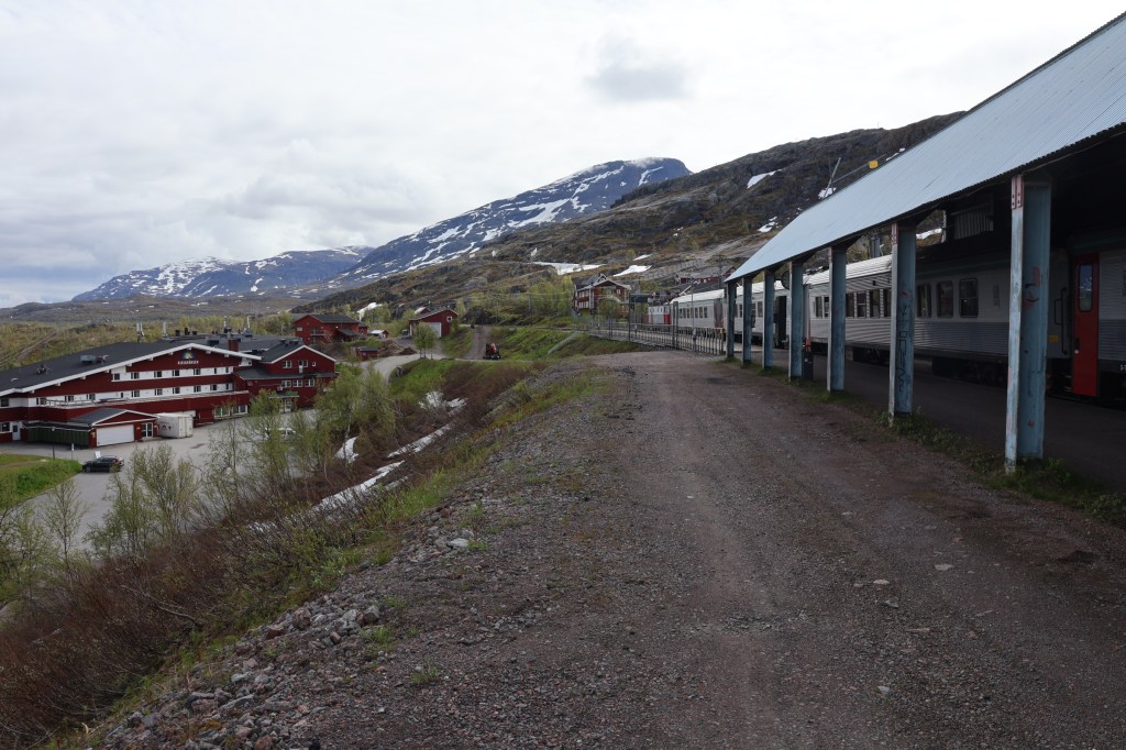
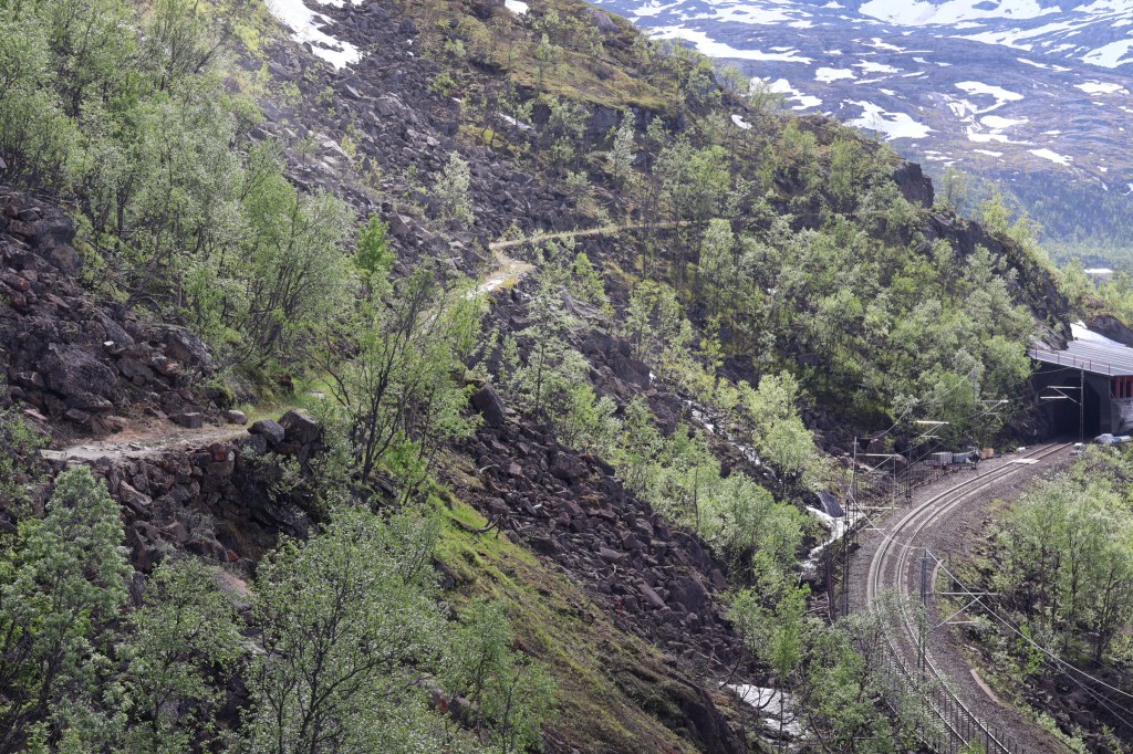
The lower gorge continues to Rombaksbotn at the head of a fjord. I went partway down but we had a train to catch at Katterat and I turned back for it. What a great day out.
Next day we went back to Sweden for a proper visit.
Norland fylke (county) is a long, narrow, strip of mountainous land, Islands, seaways and settlements, sometimes as narrow as 20km between the Norwegian Sea and Sweden. The only large town we passed is Bodø near the North end of our journey. We started with Bindal, visited Torghatten and the continued North on the Kystriksveien, the celebrated coast road of Helgeland.
